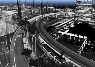
Surveying and Geomatics Projects
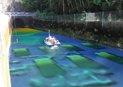
USACE Walla Walla District Hydrographic Surveying Services
Conventional Land Surveying, Geospatial Analysis, Hydrographic and Marine Geophysical Services, Marine Geophysical Investigations, Marine Services, Precision Navigation and Nautical Charting, Surveying and Geomatics
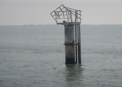
Hurricane Ida Emergency Hydrographic Surveys
Geographic Information Systems, Hydrographic and Marine Geophysical Services, Marine Services, Precision Navigation and Nautical Charting, Surveying and Geomatics
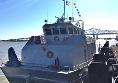
Lower Mississippi River Precision Navigation Surveys
Conventional Land Surveying, Geographic Information Systems, Hydrographic and Marine Geophysical Services, Marine Services, Surveying and Geomatics
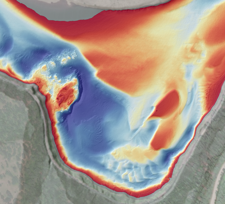
Upper Columbia River Remedial Investigation and Feasibility Study
Conventional Land Surveying, Geographic Information Systems, Hydrographic and Marine Geophysical Services, Marine Services, Surveying and Geomatics
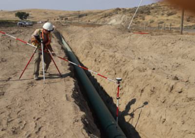
Alignment Mapping for the Carty Lateral Pipeline Project
Energy Infrastructure, Geographic Information Systems, Surveying and Geomatics
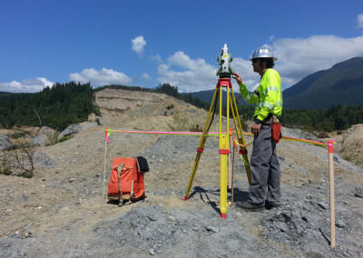
SR 530 Oso Slide Repair
Asset Management, Emergency Response, Laser Scanning and Mapping, Surveying and Geomatics
Auburn Way North Preservation Mobile Scanning
Asset Management, Laser Scanning and Mapping, Surveying and Geomatics
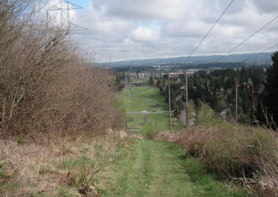
Westside Trail Segments 1, 4, and 7 Route Survey
Conventional Land Surveying, Parks, Trails, and Open Space, Surveying and Geomatics
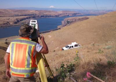
Big Eddy – Knight 500kV Transmission Line
Conventional Land Surveying, Energy Infrastructure, Surveying and Geomatics
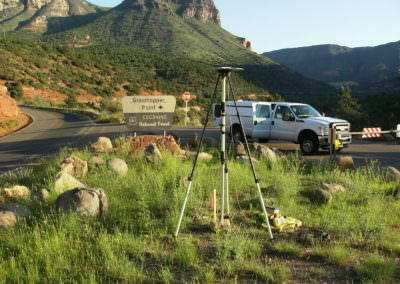
SR 89A, Pumphouse Wash to Overlook Topographic Survey
Asset Management, Laser Scanning and Mapping, Surveying and Geomatics
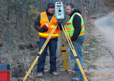
Boulder County Emergency Response Surveys
Emergency Response, Laser Scanning and Mapping, Surveying and Geomatics

