Marine Services
DEA’s Marine Services Division is a recognized industry leader in accurate, high-precision hydrographic and geophysical surveys for nautical, environmental, engineering, and scientific applications.
Staffed by a highly trained group of hydrographers, surveyors, engineers, and scientists with expertise in hydrography, oceanography, marine geology, geodesy, geomatics, and geospatial sciences, DEA Marine Services is dedicated to high-quality marine data acquisition, processing, analysis, and interpretation. We specialize in designing and conducting field programs that are customized to the objectives of each client, leading to success in a wide range of projects.
We are recognized by clients as trusted consultants and take pride in our ability to develop innovative geospatial products and solutions to address specific and unique project demands.
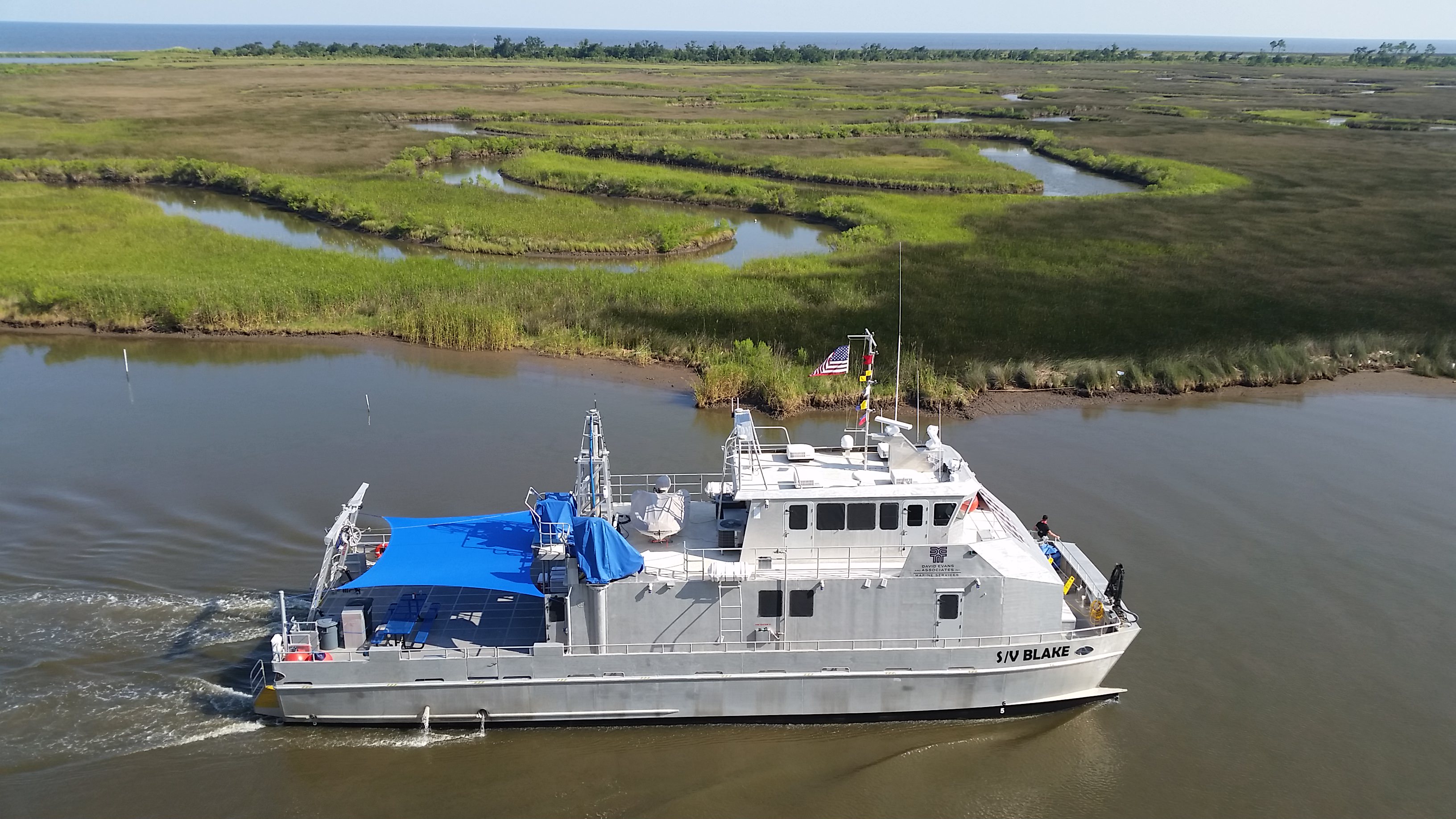
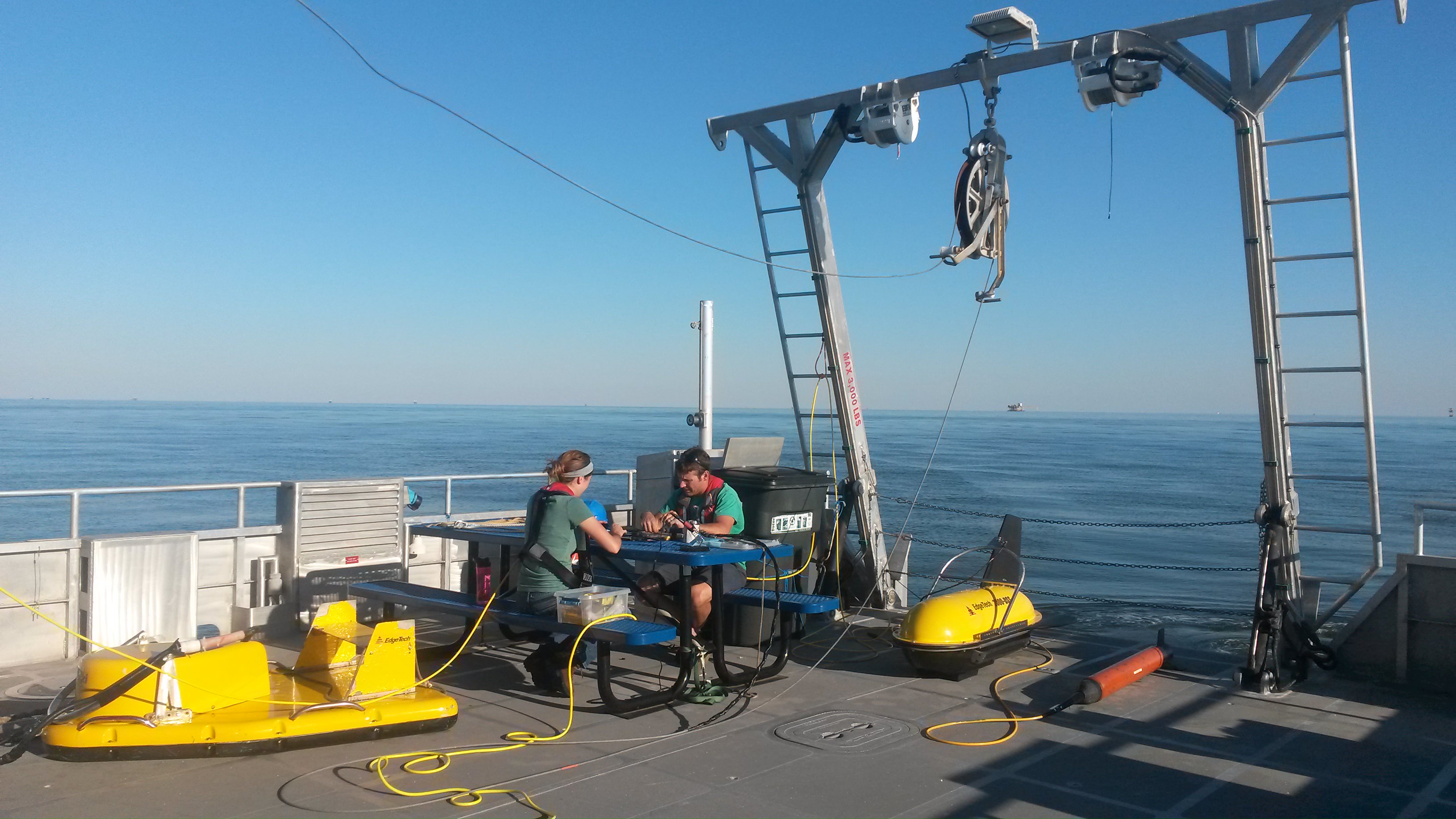
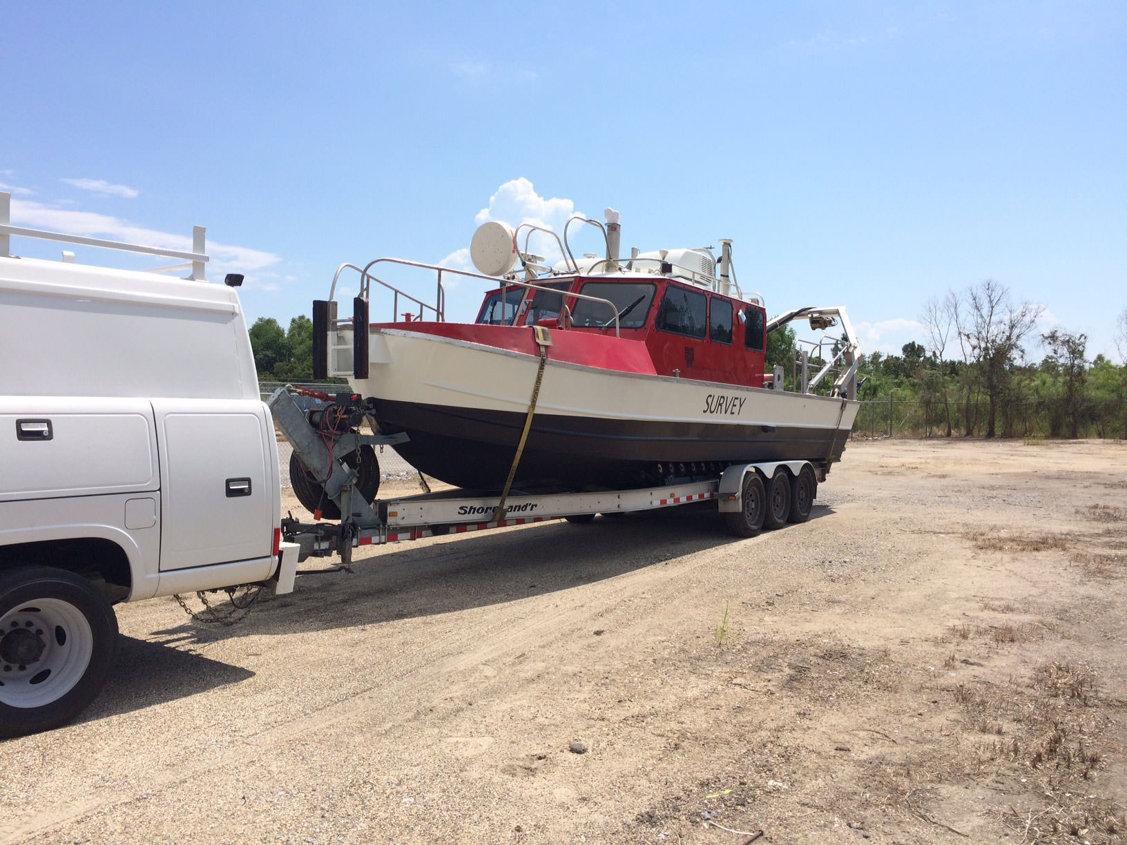
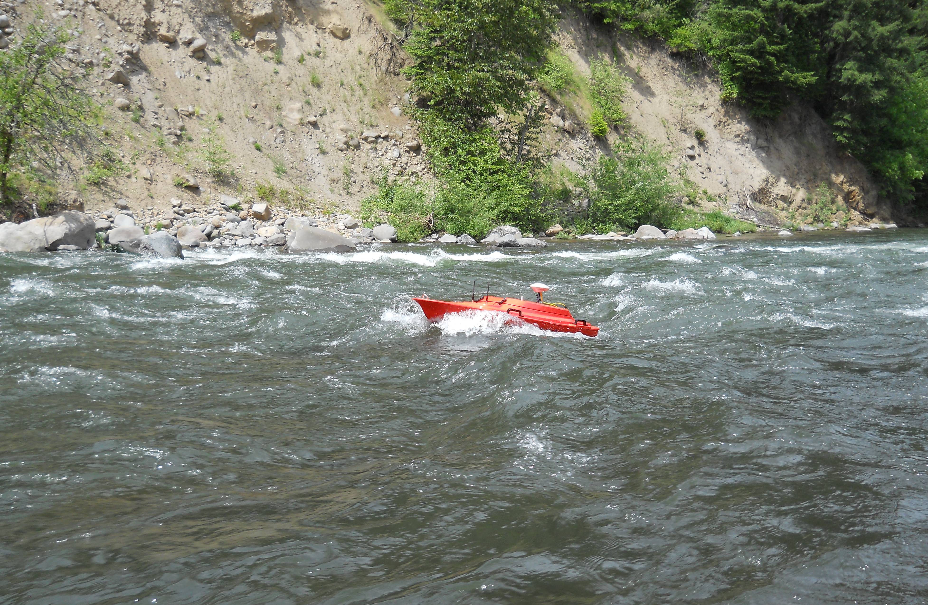
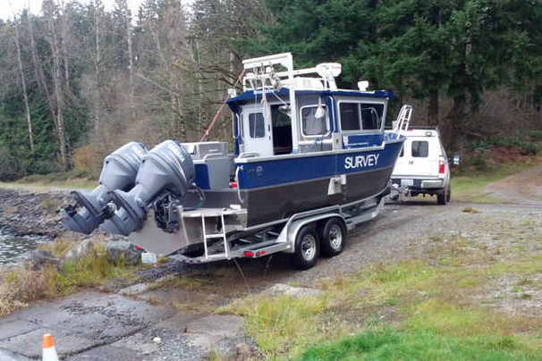
DEA Marine Services owns and operates numerous types of surveying platforms, ranging in size from hand-deployable, remote-controlled units for rivers, streams, and small reservoirs to our flagship S/V Blake, an 82-foot survey vessel custom designed and built for maximum efficiency during large-scale offshore survey operations. We have developed specialized mounts and towed platforms for mobilizing on a wide range of ships of opportunity, all of which is supported with a large inventory of hydrographic, geophysical, and oceanographic instrumentation.

Marine Services: Areas of Focus

DEA Marine Services provides navigation and nautical charting services throughout the continental United States for a variety of clients.
Precision Navigation and Nautical Charting.

Our infrastructure inspection services provide precision monitoring.
Learn more.

We provide customized design and construction services for projects in marine environments.
Learn more.

DEA Marine Services provides comprehensive flood control and reservoir capacity studies services.
Learn more.

We have the experience and technical expertise to successfully support environmental investigations, including remedial investigations and habitat mapping.
Environmental Site Characterization.

DEA Marine Services provides marine geophysical investigations services to document underwater geology.
Learn more.

Our geospatial analysis services provide clients information in a variety of customized 2D and 3D formats.
Learn more.

DEA Marine Services provides mobile vessel laser scanning services.
Learn more.

DEA Marine Services offers hydrographic surveys services performed by highly skilled and nationally recognized staff.
Learn more.
![]() [DEA] was very professional … [They were] absolutely phenomenal and very helpful in every aspect of the project.
[DEA] was very professional … [They were] absolutely phenomenal and very helpful in every aspect of the project.
Client: Mississippi Department of Marine Resources
Featured Project


Artificial Reef Mapping Program. The Mississippi Department of Marine Resources (MDMR) contracted DEA Marine Services to survey 14 offshore Artificial Reef sites (Fish Havens) and eight Rigs to Reefs sites in the Gulf of Mexico. The objective of this survey was to provide detailed mapping of the permitted areas and develop an integrated geographic information system (GIS) database to support the State of Mississippi Artificial Reef Habitat Mapping Program. DEA’s survey of each site incorporated the use of a multibeam bathymetric sonar for detailed 3D mapping and a side scan sonar for high resolution 2D imaging to accurately map the permitted areas and identify significant features within the Fish Haven and Rigs to Reefs sites.
Project Details | Marine Services Projects | DEA Project Archive
Key Contacts