Surveying and Geomatics :: Small Unmanned Aerial Systems (sUAS)
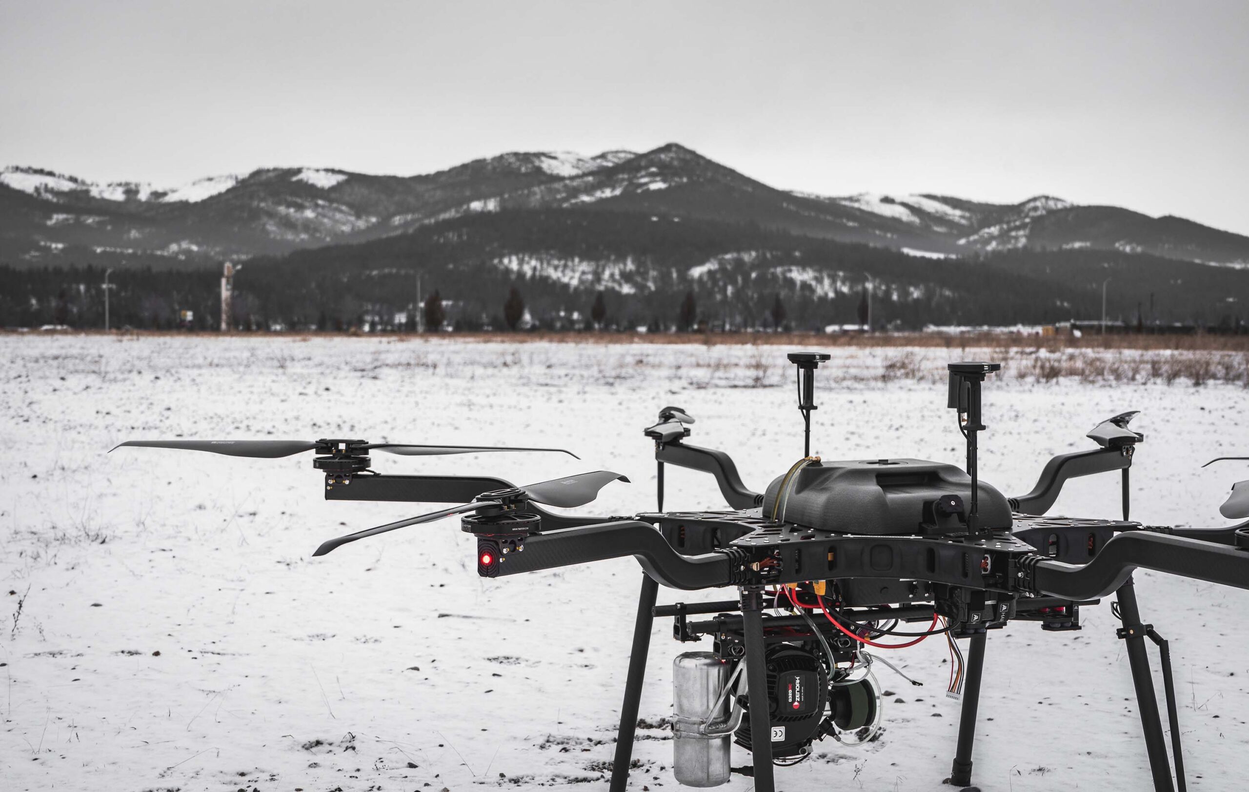
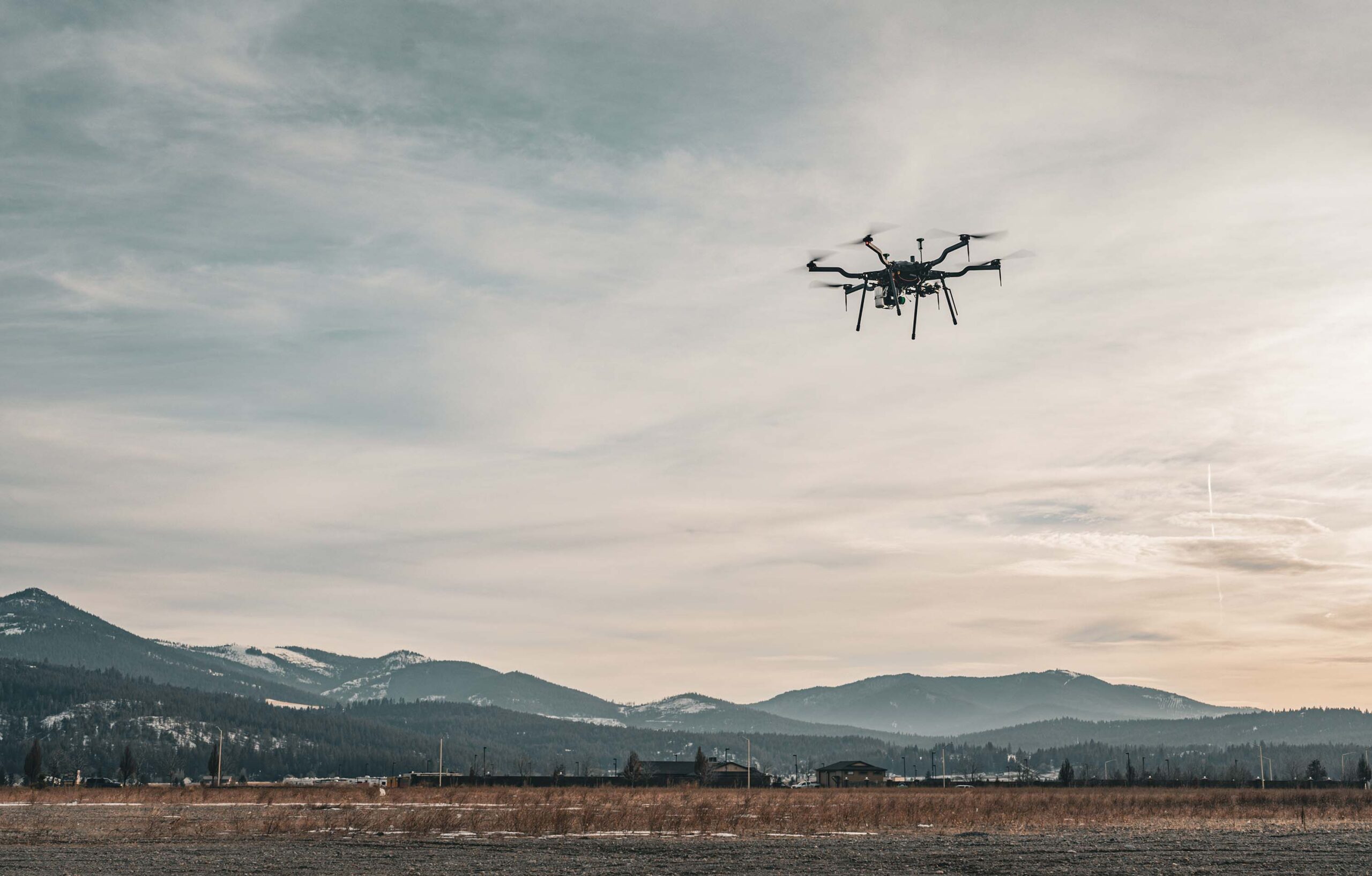
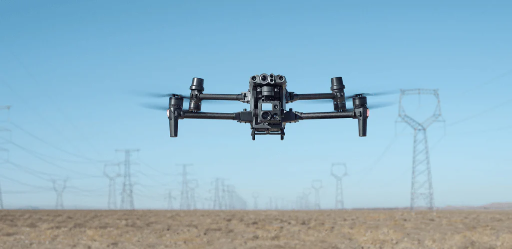
DEA takes a unique approach to small unmanned aircraft systems (sUAS) by leveraging their strengths with the rest of our measurement, assessment, and reality capture solutions. We determine the most suitable approach for any given project, whether it be manned-aerial, sUAS, terrestrial/traditional methods, or a hybrid solution based on our experience in aerial mapping, inspection, and asset collection projects. Our goal is always to ensure high-quality results by using the most appropriate tools and methods for the schedule, budget, and deliverable.
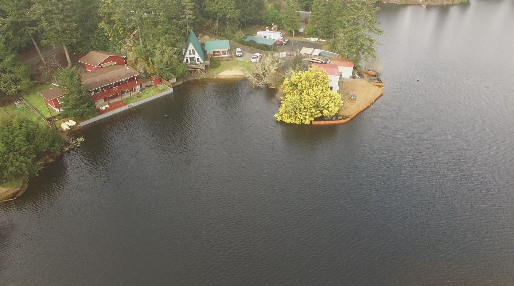
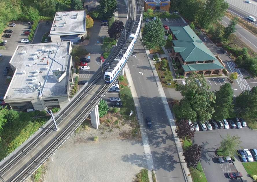
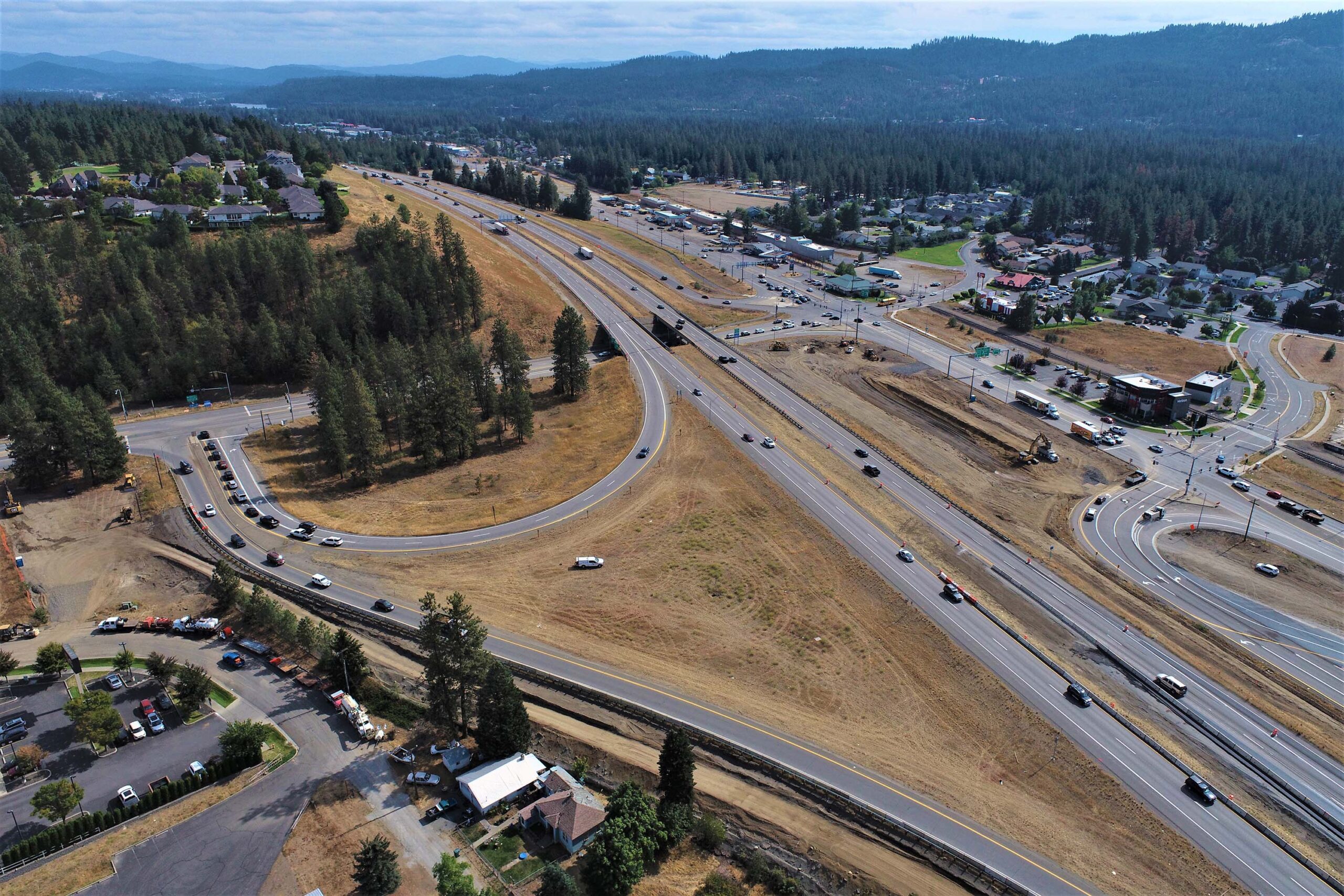
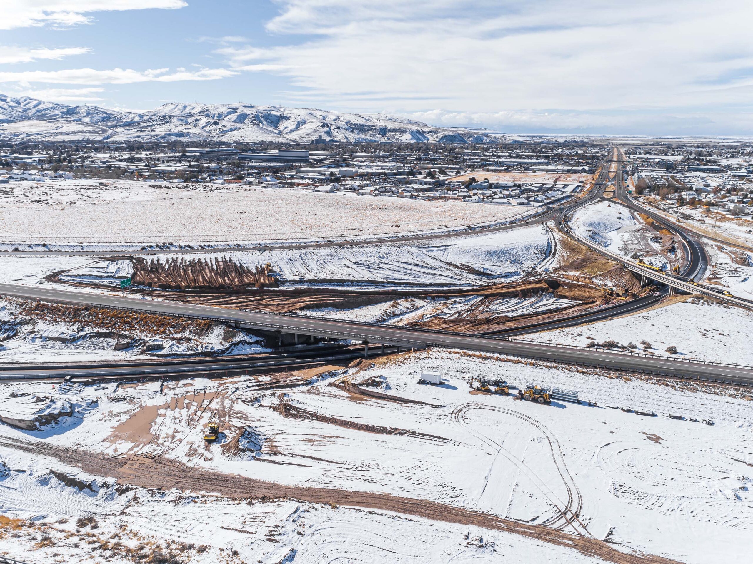
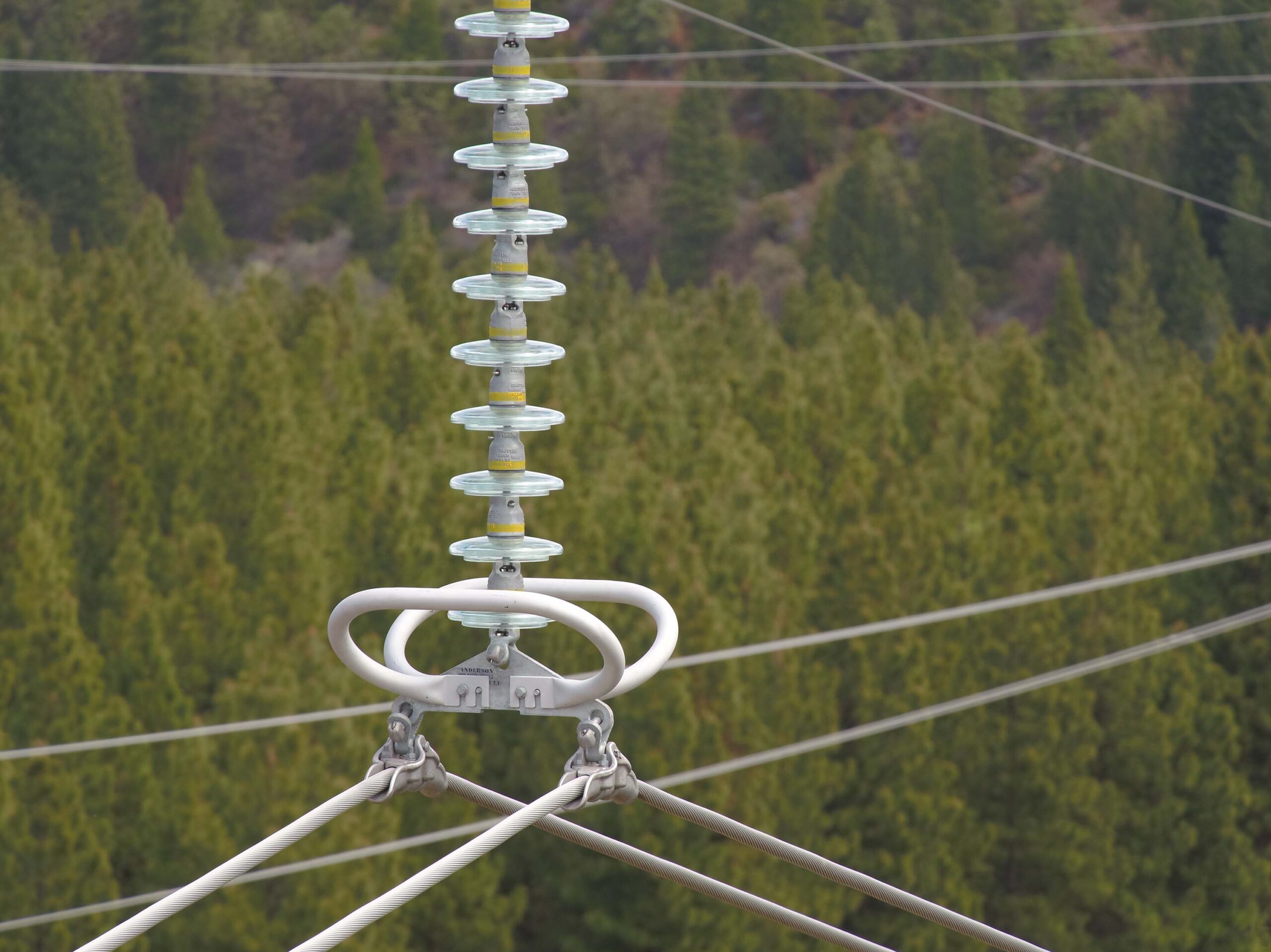
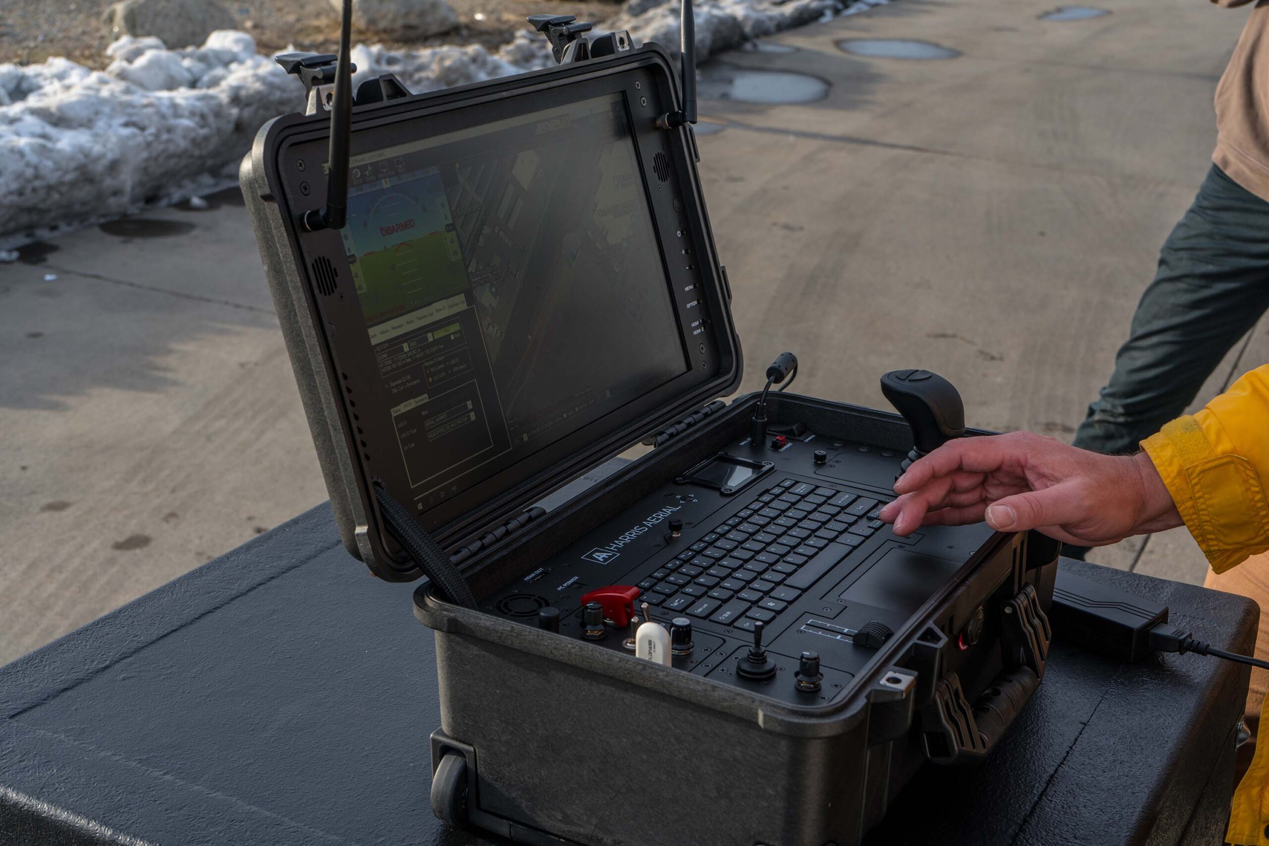
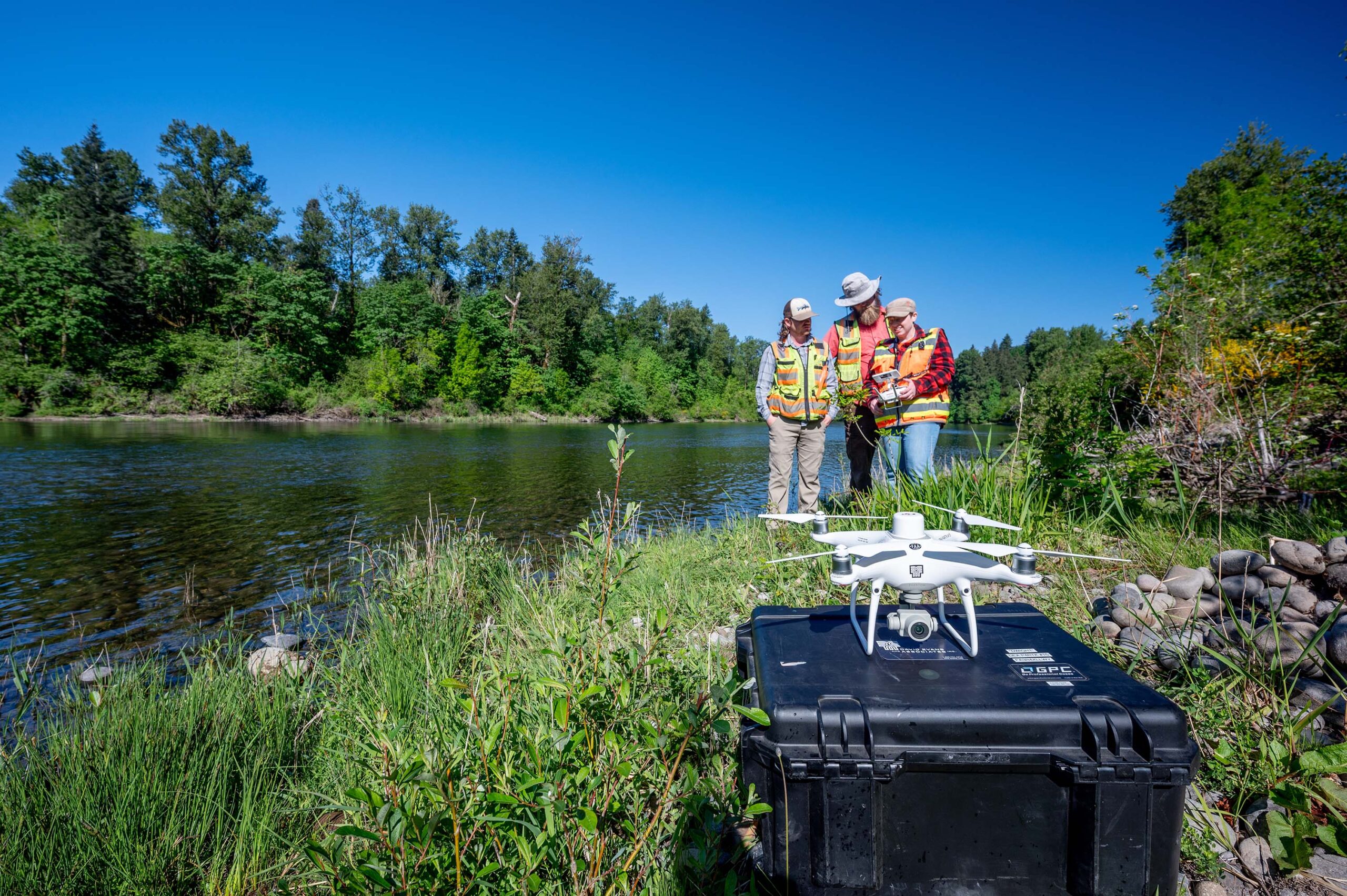
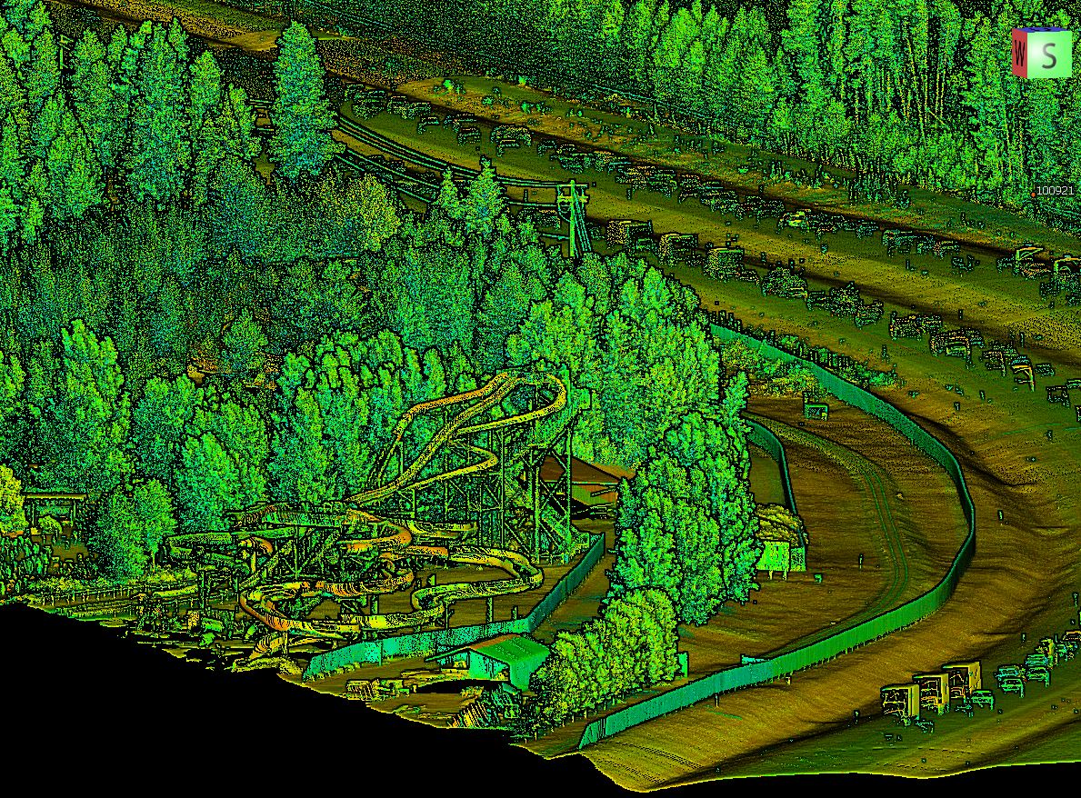
Quality results are achieved through professional remote piloting combined with an understanding of the sensor’s limitations and the desired deliverable. DEA’s dedicated sUAS field teams allow our engineers, surveyors, scientists, and responders to capture impactful data for schedule, budget, and quality. We have broad sUAS project experience covering numerous applications including roadway corridors, utility lines, rock slopes, site volumetrics, micro hydrology, structural inspection, environmental mapping, site mapping, project documentation, and change detection – to name a few.
At DEA, we take pride in delivering high-quality solutions tailored to meet our clients’ unique needs.
Services
- Inspections (bridges and large structures, utility, renewable energy, etc.)
- Mapping
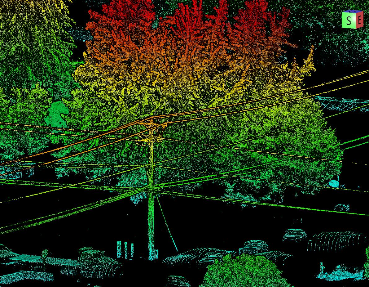
- LiDAR
- Thermography
- Construction Progression
- Emergency Response Solutions
- 3D Modeling
- 360 Photo/Video
More