USACE Walla Walla District Hydrographic Surveying Services
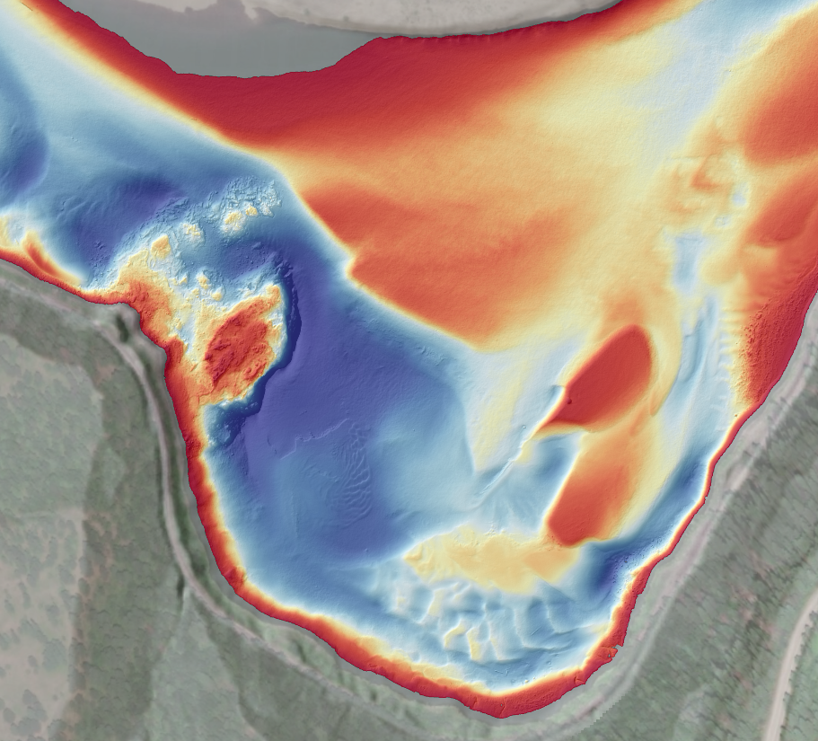
DEA has a long history of providing hydrographic and land surveying services to the Walla Walla District, including several surveys on the Columbia, Snake, and Clearwater Rivers.
DEA has a long history of providing hydrographic and land surveying services to the Walla Walla District, including several surveys on the Columbia, Snake, and Clearwater Rivers.
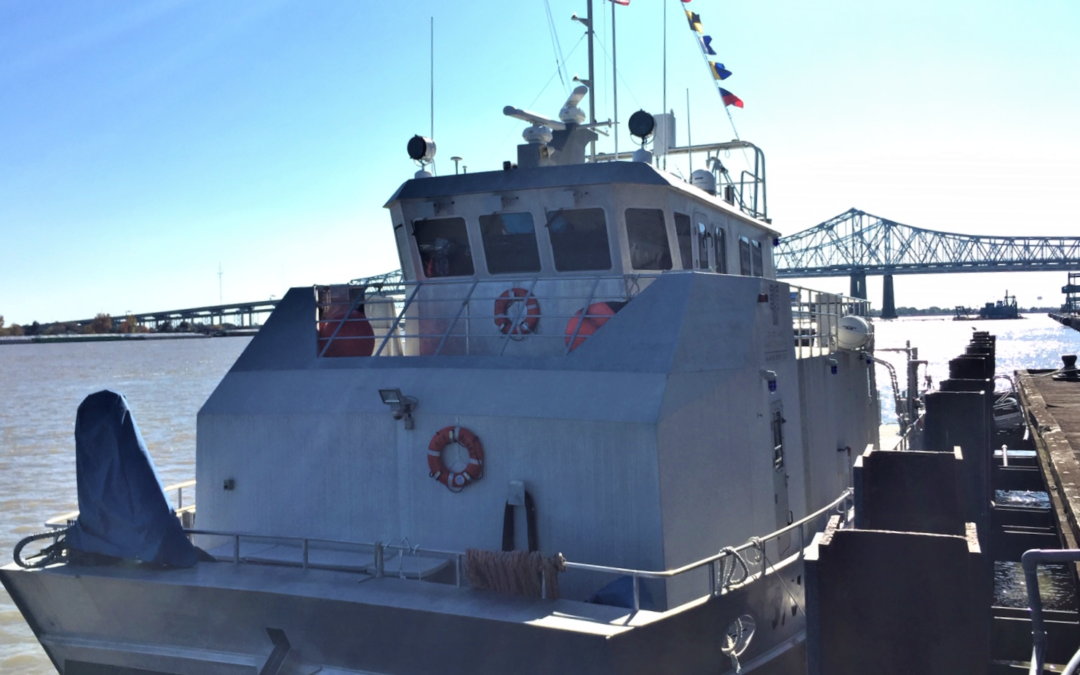
DEA Marine Services performed hydrographic surveys of approximately 260 miles of the lower Mississippi River in support of NOAA Office of Coast Survey’s Precision Charting Initiative.
Since 2018, DEA Marine Services has provided hydrographic surveying and geoscientific consulting services as part of the Upper Columbia River Remedial Investigation and Feasibility Study.
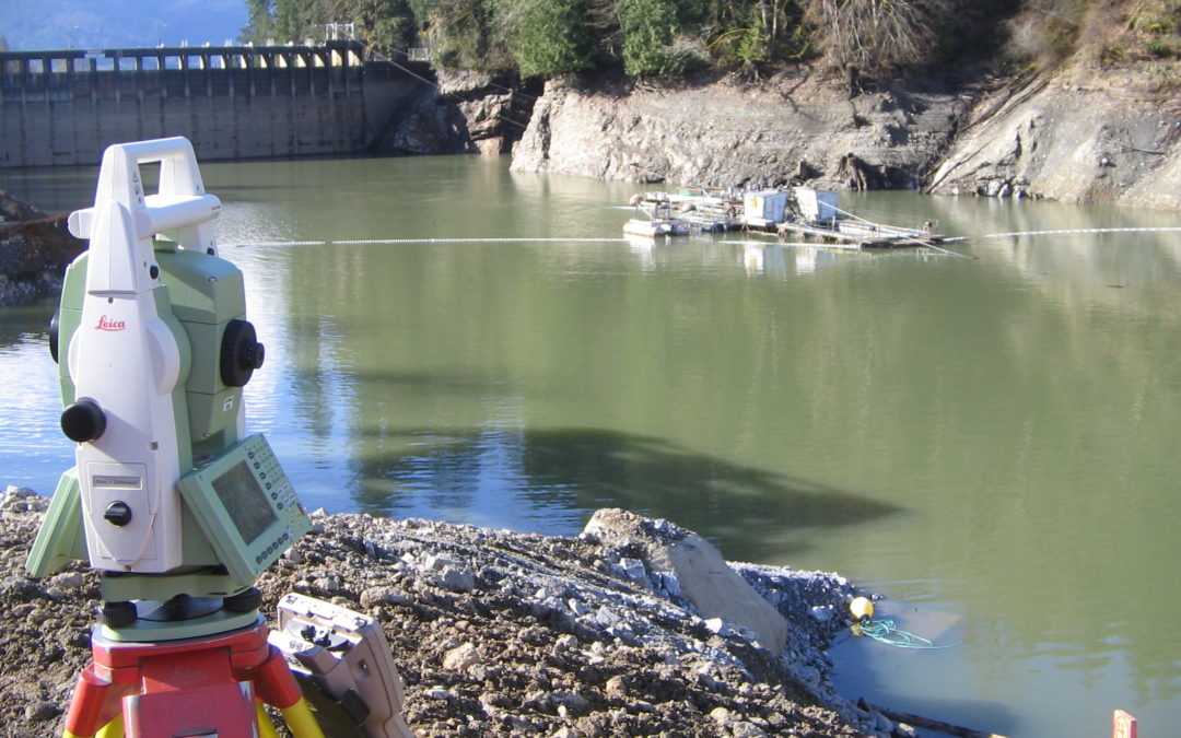
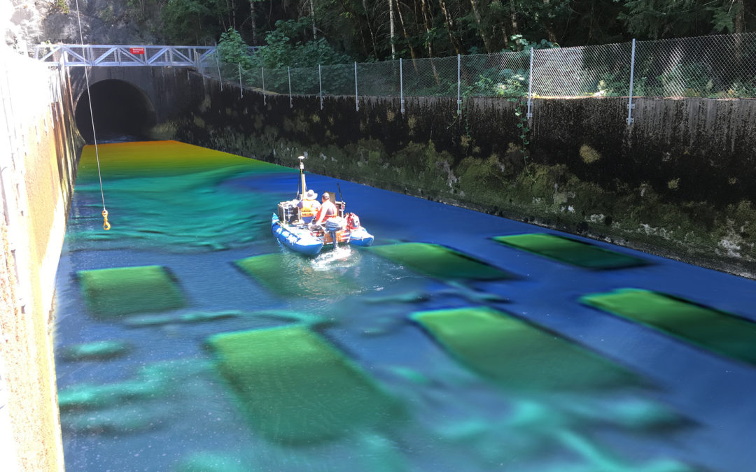
DEA provided topographic and quantity surveys during shoreline rock excavation and overburden removal for installation of a Floating Surface Collector on Lake Shannon, WA. We also provided topographic surveys, construction staking, and as built surveys.
Since 2012, DEA has been providing civil engineering and surveying services to King County Housing Authority communities.
We take pride in our outstanding reputation, industry accolades, and unwavering commitment to excellence. Our vision to be the best is exemplified in our work.
Read More:
Through DEA’s Officer Program, employees have the opportunity to share in ownership and the success of our projects and the satisfaction of our clients.
With more than 47 years of proven success, DEA is a well-established organization that offers stability and financial security.
We take pride in our recognition as a Best Place to Work and a Healthiest Workplace, showcasing our dedication to creating a positive, fulfilling, and fun workplace for our employees.
Our values and company culture form the foundation of our success, influencing our actions and creating a positive work environment. Embraced by all DEA team members, these guiding principles are vital to our continued achievements and unwavering commitment.
Read more:
DEA leads the industry in engineering, design, and construction services, driven by our unwavering commitment to innovation and excellence. Continuously seeking new avenues of improvement, we invest in cutting-edge technologies to deliver exceptional results.
Read more:
At DEA, we are committed to supporting the health, happiness, and financial security of our employees. We offer a variety of benefits tailored to meet individual needs, including comprehensive healthcare coverage, retirement planning assistance, and other financial support. Our goal is to provide the resources you need to live a fulfilling life, while also giving you peace of mind about your financial future. We recognize that everyone's needs are different, which is why we have designed a flexible benefits program that allows you to select the options that are most valuable to you.
Read more: