Surveying and Geomatics :: Laser Scanning and Mapping
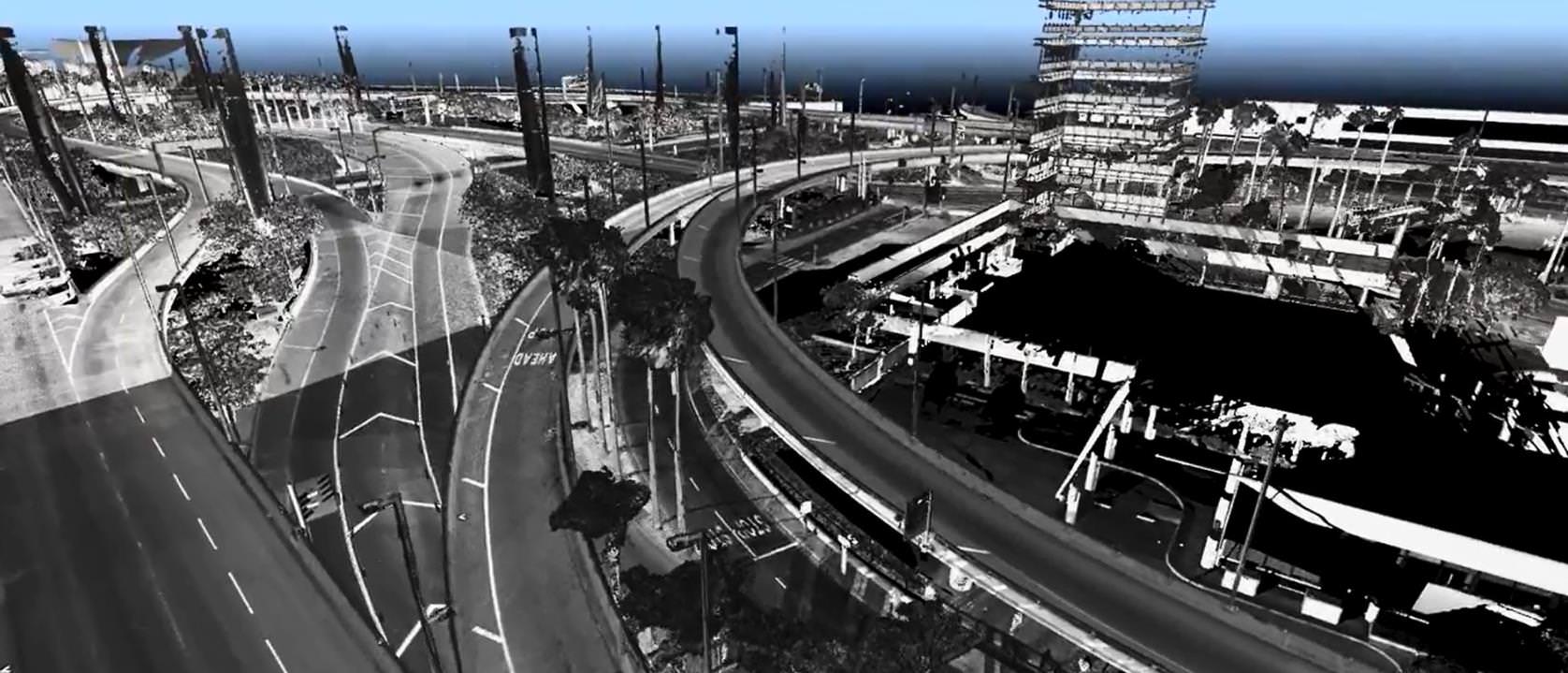
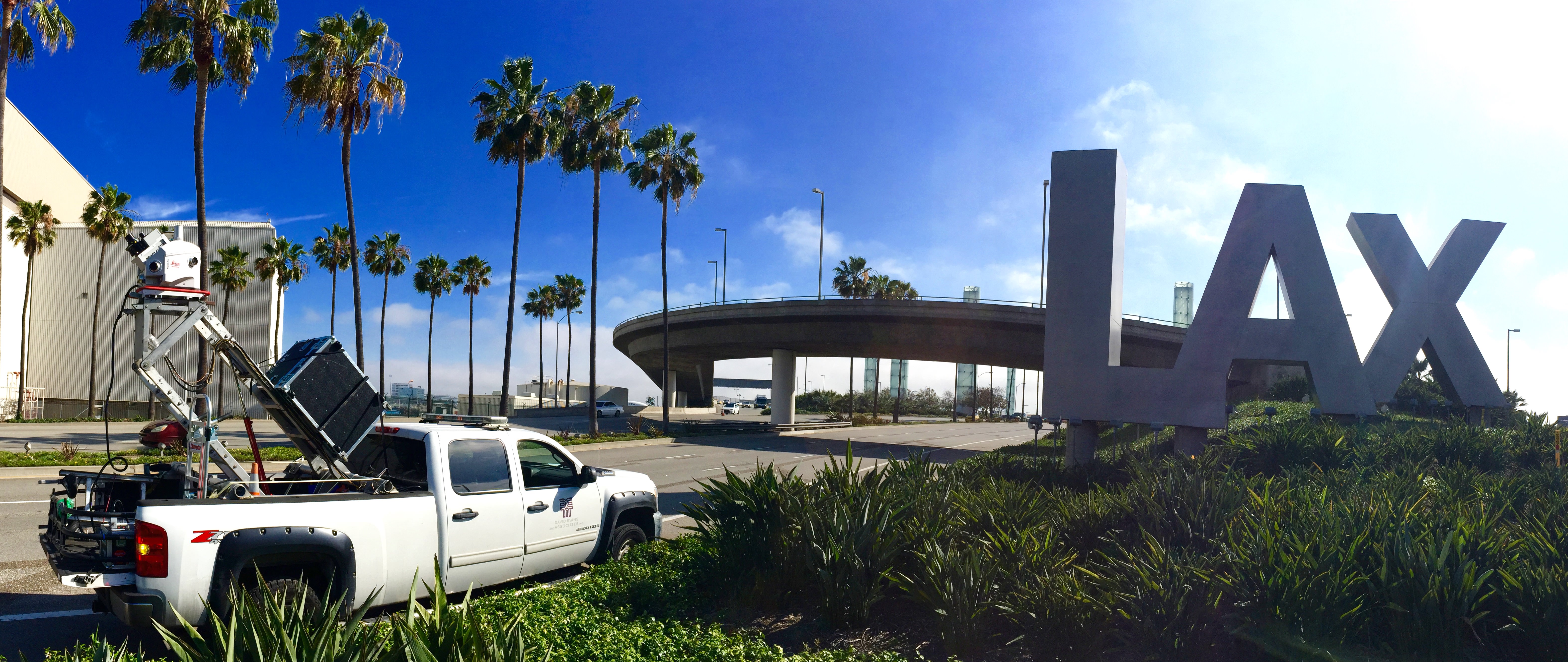
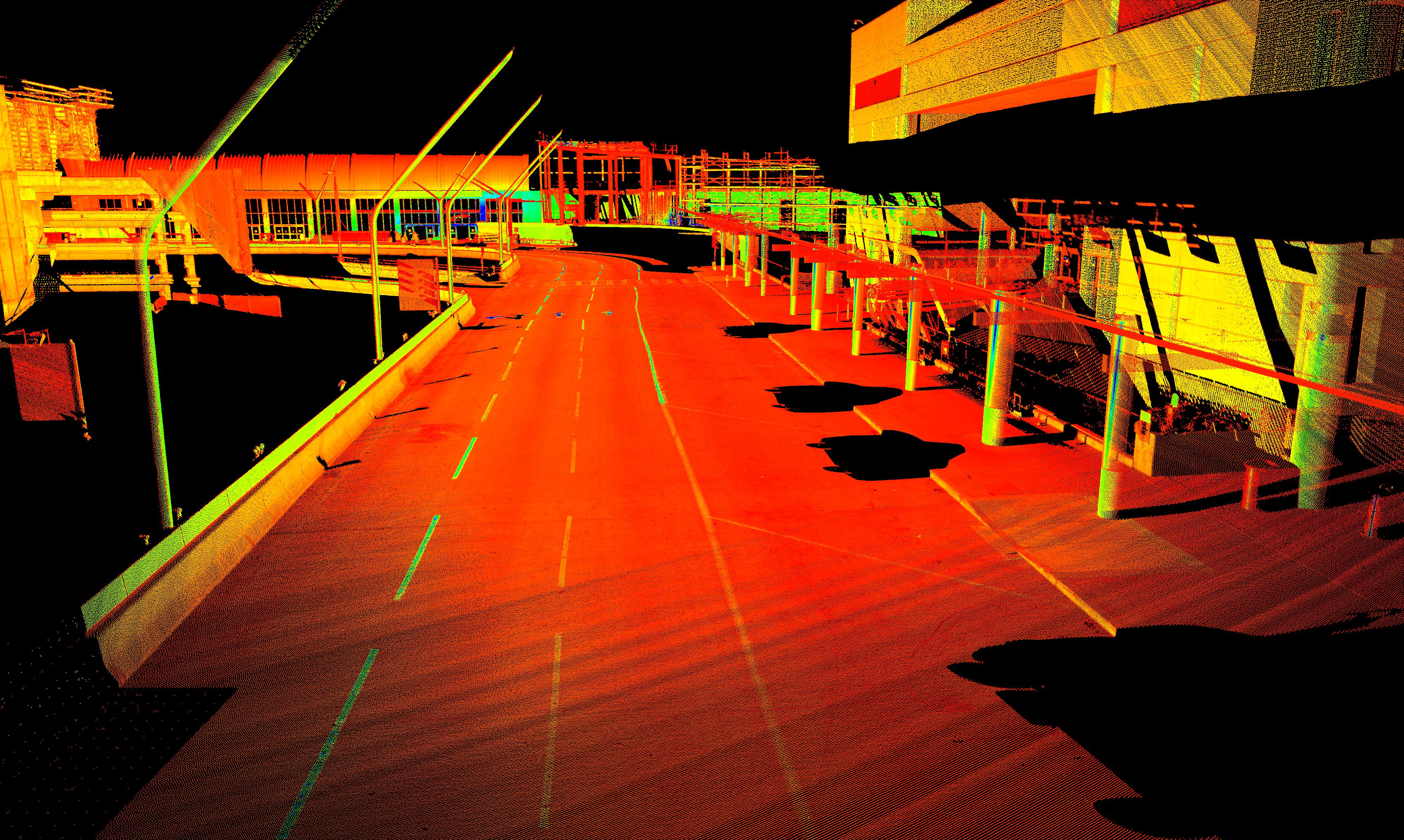
Los Angeles International Airport (LAX) 3D Laser Scanning Survey
Los Angeles, CA
As part of the LAX expansion project, DEA provided high definition 3D laser scanning surveys of the arrival and departure roadways, all of the landside terminals, the interior terminal, and exterior surface roads. The laser scanning was performed in the evening hours when the airport was not as busy, and full coordination with both airport police and maintenance was required. A mobile 3D laser scanning system was used to collect the data. This data was tied into the horizontal and vertical control datums established by the Federal Aviation Administration and Los Angeles World Airports.
More