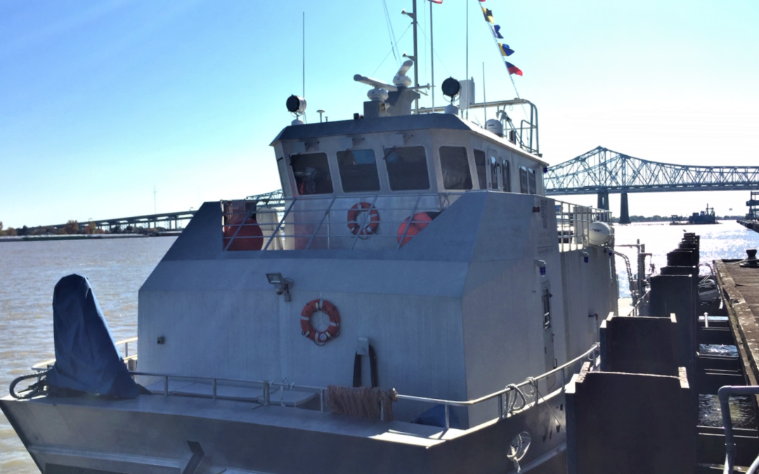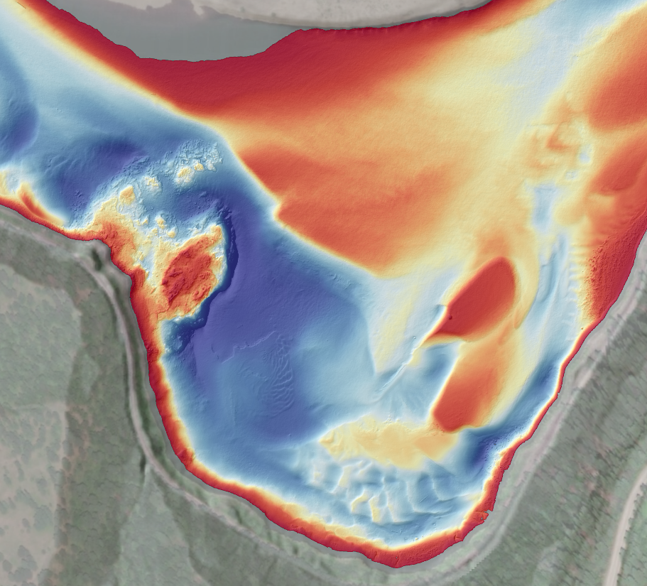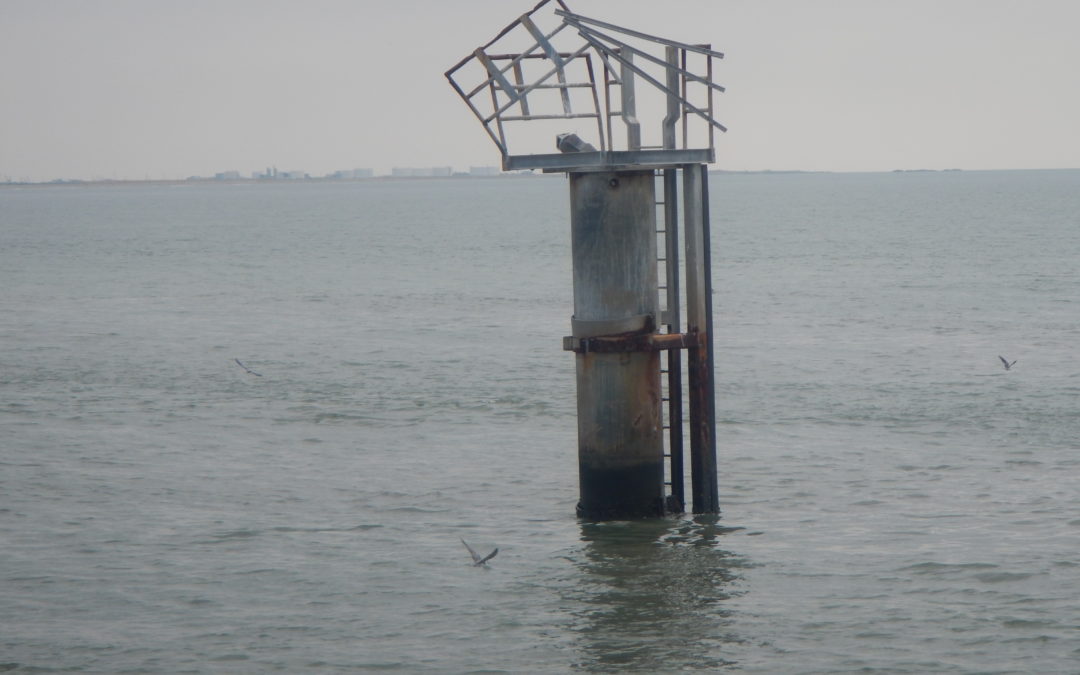
Hurricane Ida Emergency Hydrographic Surveys
DEA Marine Services provided emergency response services to support the opening of critical ports following the landfall of Hurricane Ida in 2020. Under a task order for the National Oceanic and Atmospheric Administration (NOAA) Office of Coast Survey, DEA conducted 24-hour operations to survey the approaches to Port Fourchon and Houma, Louisiana.