Marine Services :: Hydrographic Survey and Geospatial Analysis
USACE Walla Walla District Hydrographic Surveying Services
Walla Walla District, WA / OR / ID
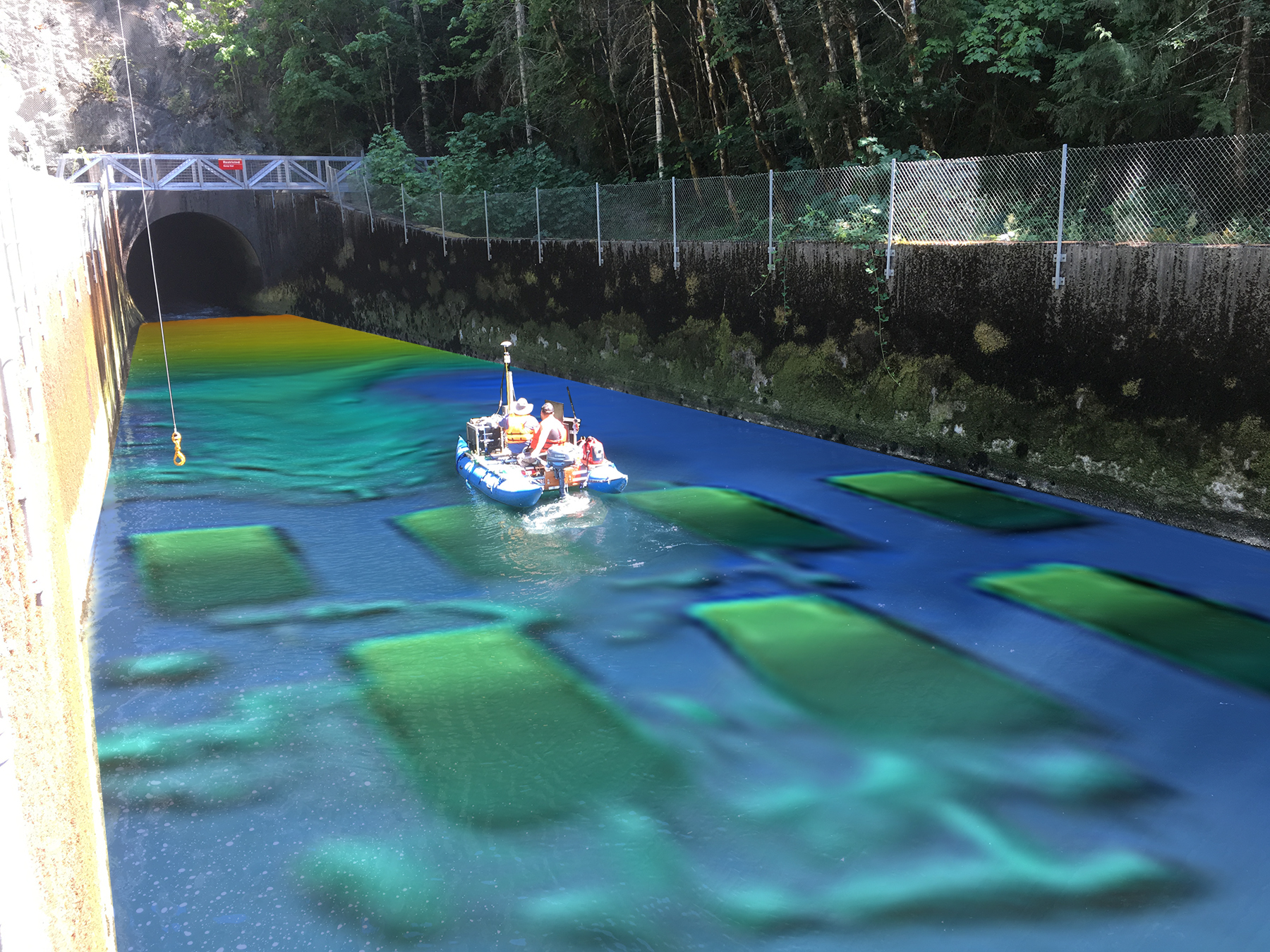
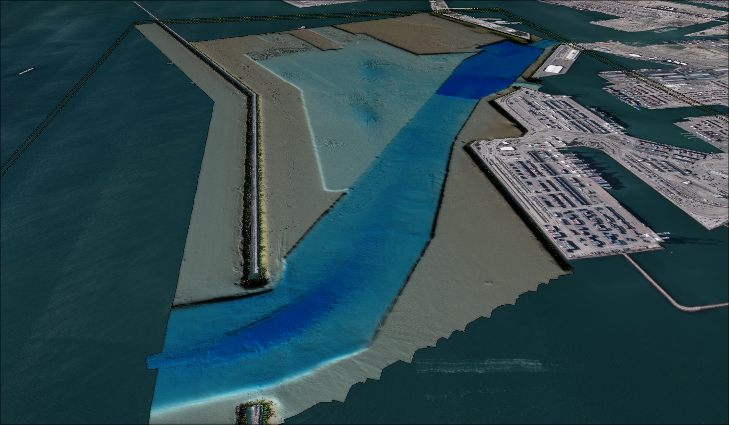
DEA has a long history of providing hydrographic and land surveying services to the Walla Walla District, including several surveys on the Columbia, Snake, and Clearwater Rivers dating back to the early 1990s. Services have included high-resolution multibeam hydrographic surveys for stilling basin inspections and navigation surveys; underwater acoustic scanning for detailed mapping of undercut areas; deep-water, narrow-beam single beam surveys, topographic surveys, and upland laser scanning for sediment range surveys; sub-bottom profiling; and acoustic Doppler current profiling, sediment sampling, wind measurements, and time-lapse video for documenting river current patterns, information on bedload transport, and sediment grainsize distribution data for sediment transport modeling.
More