Surveying and Geomatics :: Conventional Land Surveying
City of Redmond Vertical Control
Redmond, WA
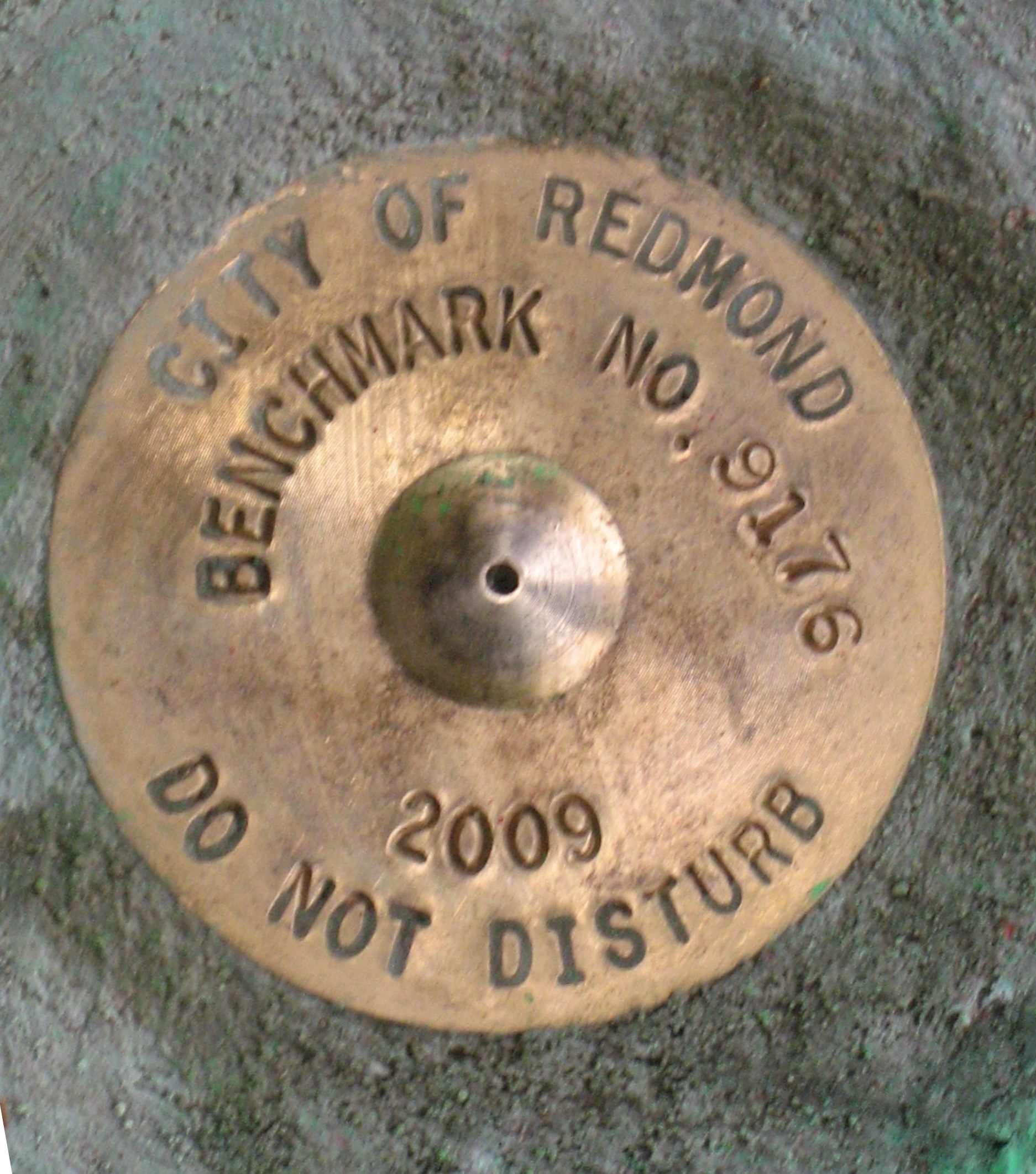
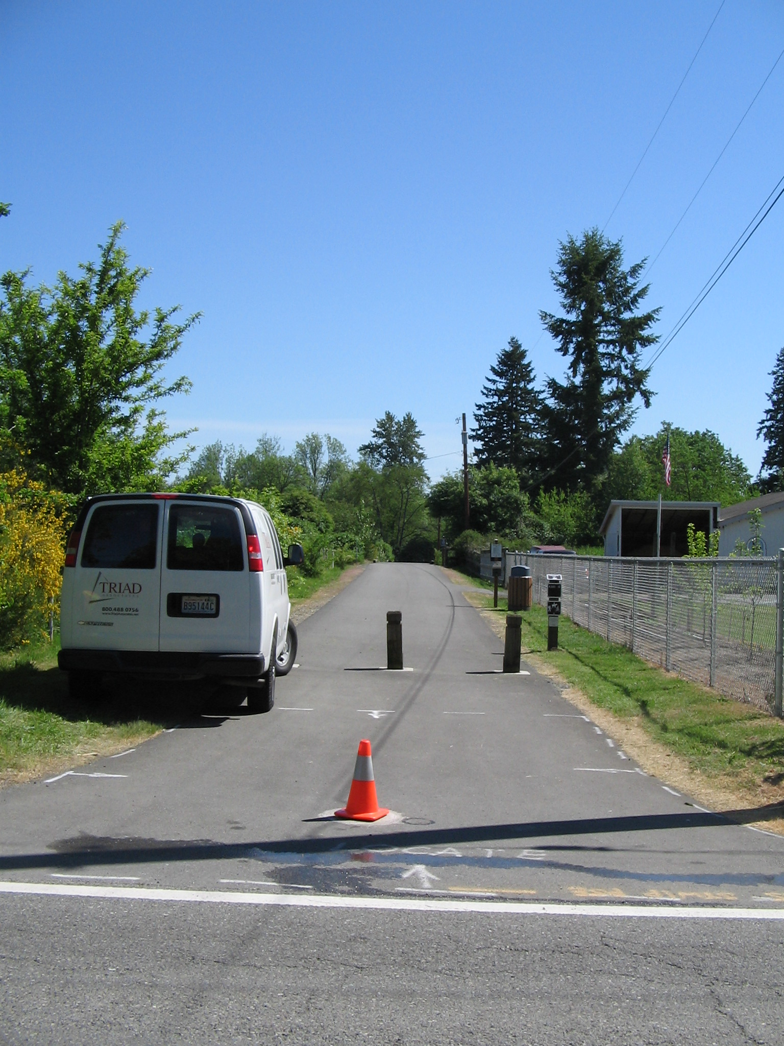
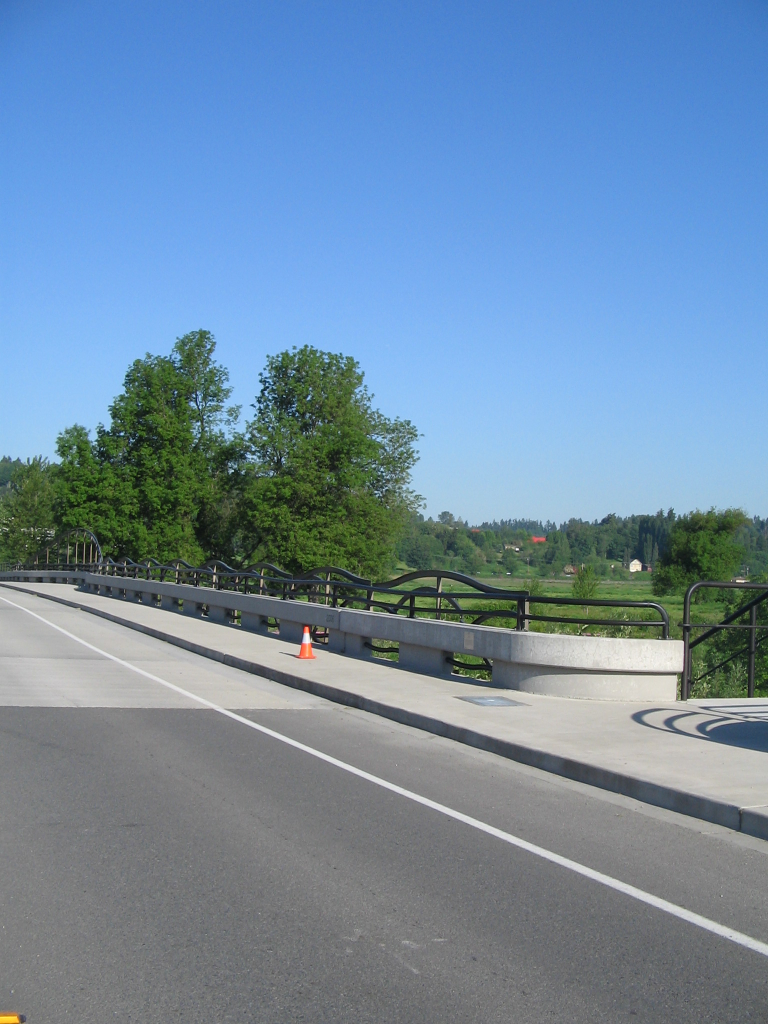
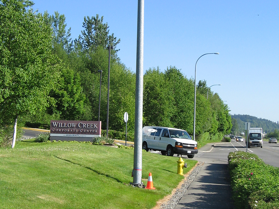
DEA updated the City of Redmond’s vertical control network, originally established in 1989. The primary purposes of this survey were to change the vertical datum from NGVD 29 to NAVD 88, to set new benchmarks, and to replace damaged or destroyed benchmarks. Upon completion, DEA delivered to the City of Redmond a datasheet for each of the 104 bench marks established on a grid system of approximately half-mile centers that included monument and location description photograph, NAD 83/91 bench mark coordinates and NAVD 88 elevations. The field crew performed to the Federal Geodetic Control Committee NGS Second Order, Class 1 Leveling specifications for vertical control surveys. Raw field data was adjusted using rigorous, weighted least squares adjustment software. City of Redmond Survey/CAD Standards were carefully followed on this project.
Project work performed as Triad Associates.
More