Apr 22, 2024
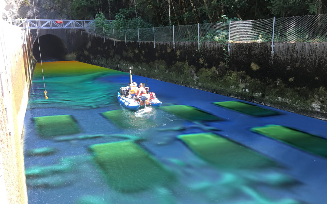
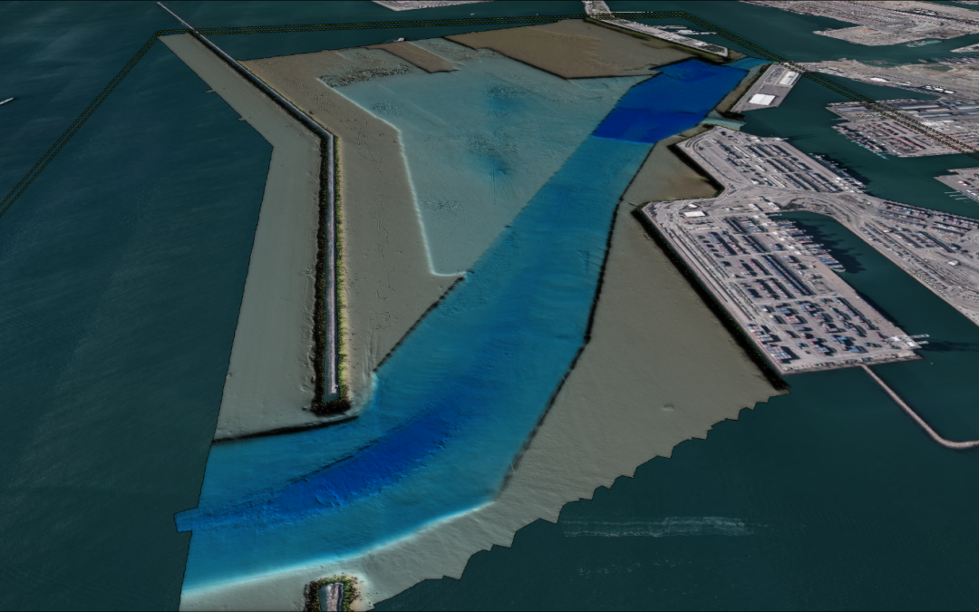
DEA Marine Services is providing hydrographic surveying and consulting services to the Port of Long Beach (POLB) to update bathymetry of the harbor suitable for POLB’s Harbor Sounding Program as well as to update the local Pilot database and provide data to NOAA for nautical charting.
Apr 18, 2024
DEA Marine Services is providing hydrographic surveying and consulting services to the Port of Long Beach (POLB) to update bathymetry of the harbor suitable for POLB’s Harbor Sounding Program as well as to update the local Pilot database and provide data to NOAA for nautical charting.
Apr 18, 2024
DEA Marine Services is providing hydrographic surveying and consulting services to the Port of Long Beach (POLB) to update bathymetry of the harbor suitable for POLB’s Harbor Sounding Program as well as to update the local Pilot database and provide data to NOAA for nautical charting.
Mar 28, 2023
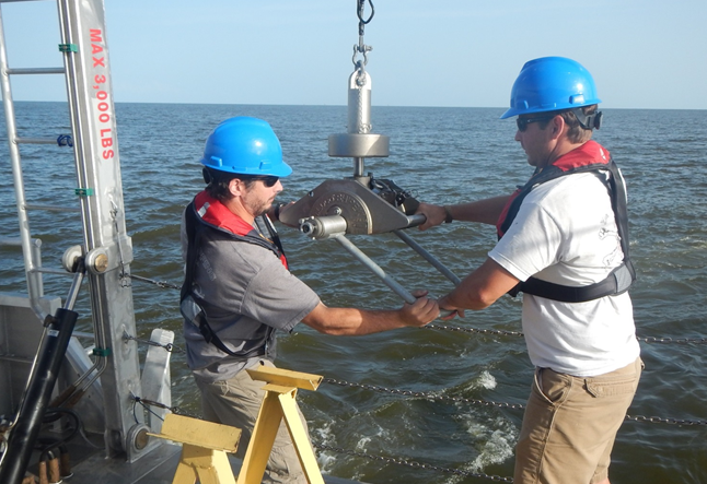
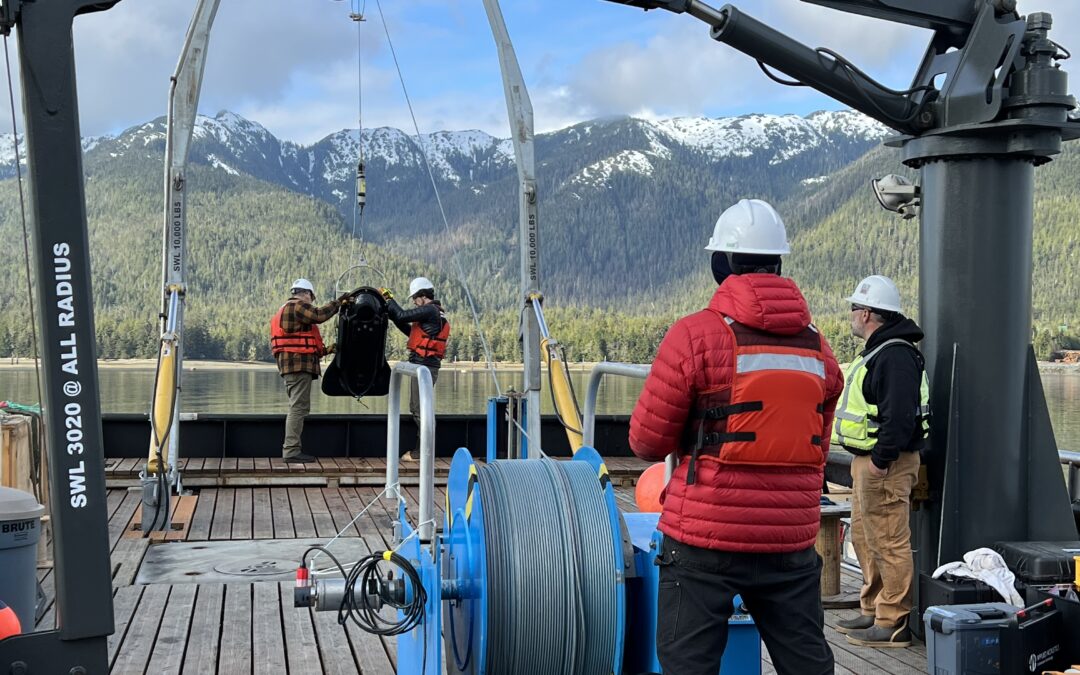
DEA has a long history of providing hydrographic and land surveying services to the Walla Walla District, including several surveys on the Columbia, Snake, and Clearwater Rivers.
Mar 28, 2023
DEA Marine Services is providing hydrographic surveying and consulting services to the Port of Long Beach (POLB) to update bathymetry of the harbor suitable for POLB’s Harbor Sounding Program as well as to update the local Pilot database and provide data to NOAA for nautical charting.