Surveying and Geomatics :: Laser Scanning and Mapping
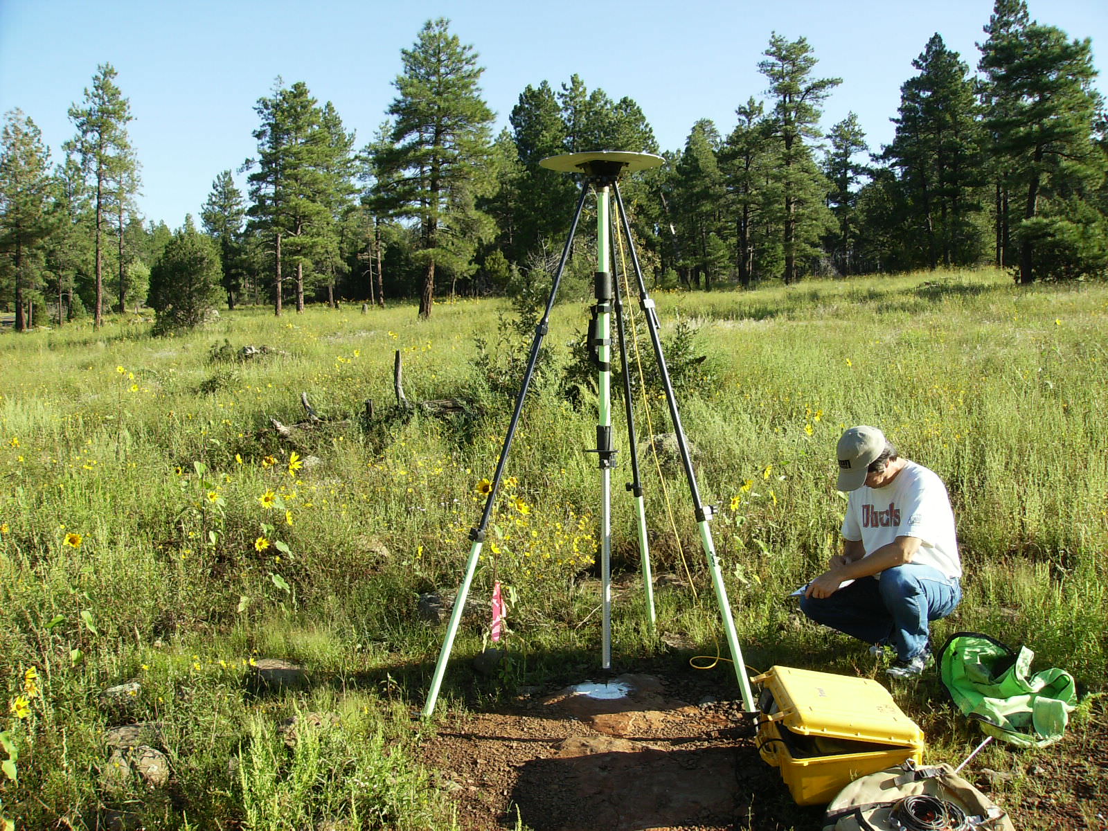
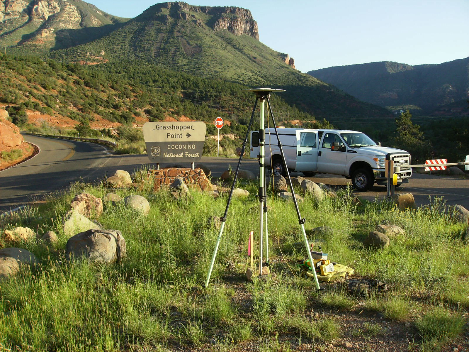
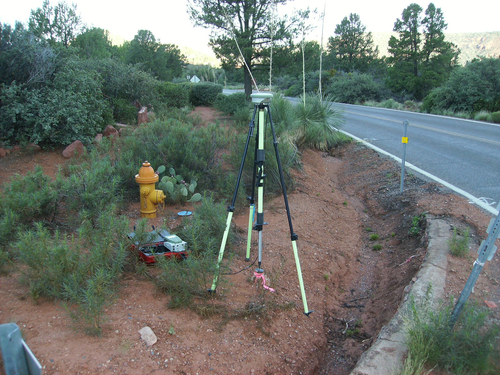
SR 89A, Pumphouse Wash to Overlook Topographic Survey
Sedona and Flagstaff, AZ
On behalf of Arizona Department of Transportation (ADOT), DEA’s survey team performed a control survey and collected 25 miles of data along SR 89A from Sedona to Flagstaff using DEA’s mobile laser scanning system. DEA surveyors also provided topographic mapping, Digital Terrain Model (DTM), and a “best fit” centerline alignment for a 3.5-mile area from Pumphouse Wash to the Overlook Scenic Rest Area. By using mobile laser scanning methods, DEA was able to collect the point cloud data in less than one week without any lane closures and with minimal entry into the highway right-of-way. The scan data allowed the DTM file to include the cut walls without having to occupy the steep slopes, thus providing a much safer project overall. This project was awarded a 2013 Grand Award from ACEC Arizona.
More