Surveying and Geomatics :: Laser Scanning and Mapping
SR 530 Oso Slide Repair
Oso, WA
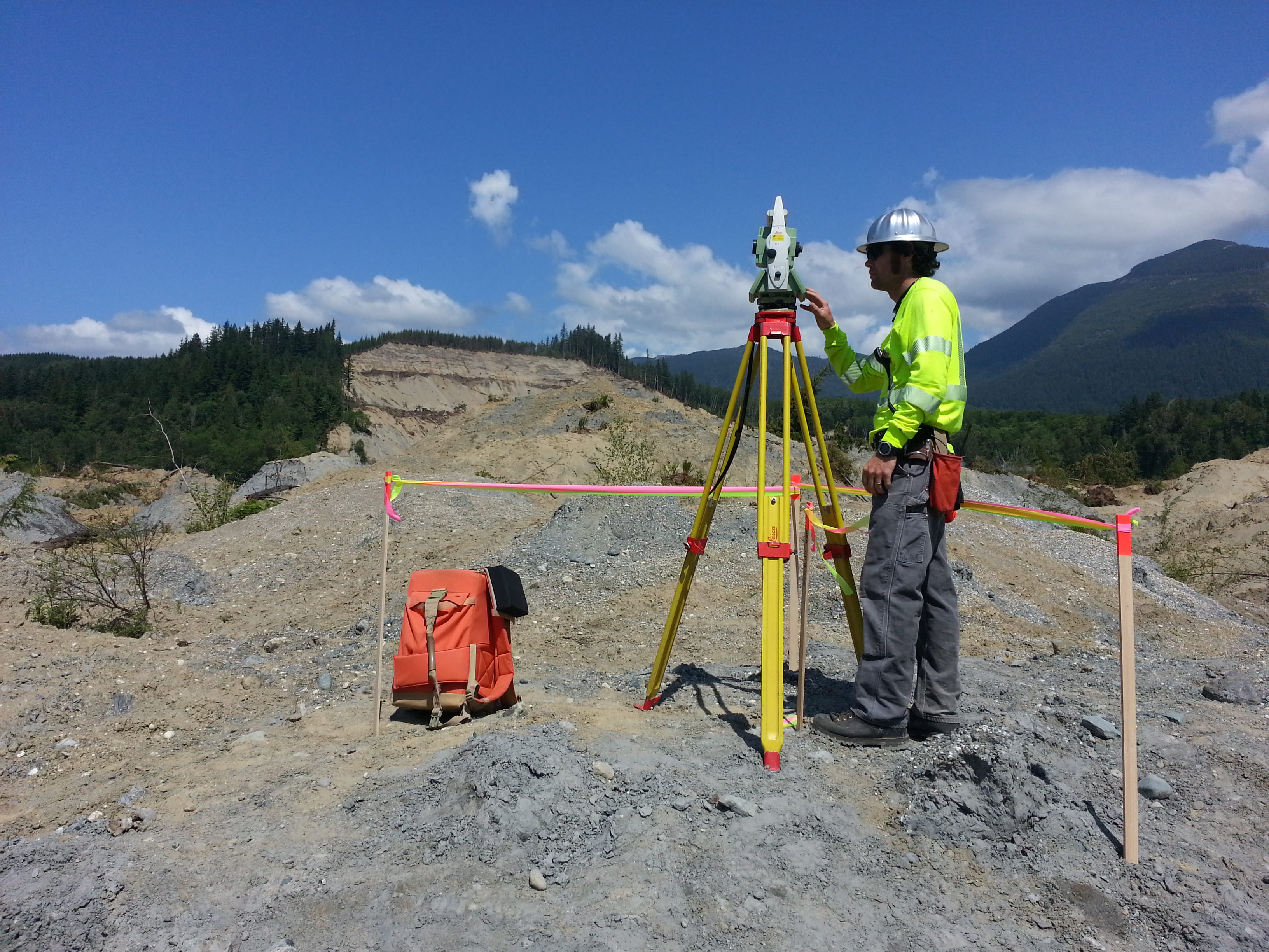
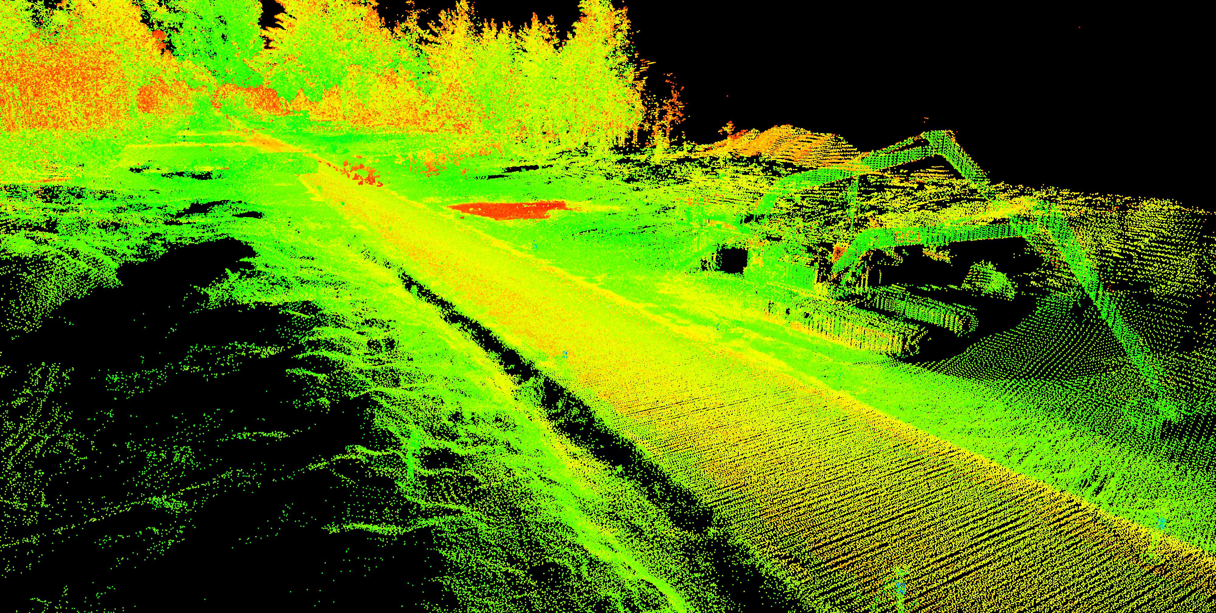
Following a landslide in Oso on March 22, 2014, DEA’s Marine Services Division assisted in emergency recovery and mapping operations in Landslide Lake and in the North Fork of Stillaguamish River. The landslide impounded the North Fork of the Stillaguamish River, creating Landslide Lake, which represented a flood hazard. The impoundment flooded areas were affected by the landslide and debris, impairing search and recovery efforts. DEA’s land surveying team worked with Snohomish County to provide monitoring and project management for the aerial mapping services required for the recovery efforts. DEA recovered existing Washington State Department of Transportation survey control points and set new control as needed to perform a limited “ground truthing” survey within the area. DEA also utilized 3D mobile laser scanning technology to create a topographic base map of SR 530 for use in the design-build effort to repair the damage to 1.5 miles of roadway caused by the landslide.
More