SR 530 Oso Slide Repair
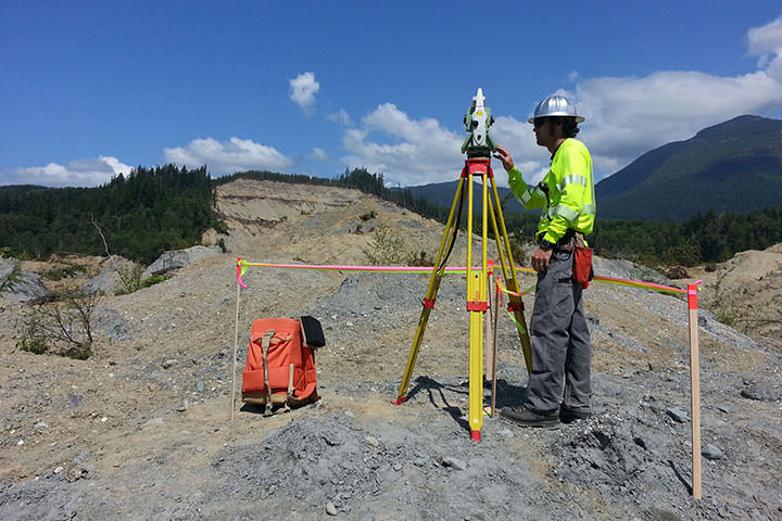
Following a landslide in Oso on March 22, 2014, DEA’s Marine Services Division assisted in emergency recovery and mapping operations in Landslide Lake and in the North Fork of Stillaguamish River.

Following a landslide in Oso on March 22, 2014, DEA’s Marine Services Division assisted in emergency recovery and mapping operations in Landslide Lake and in the North Fork of Stillaguamish River.

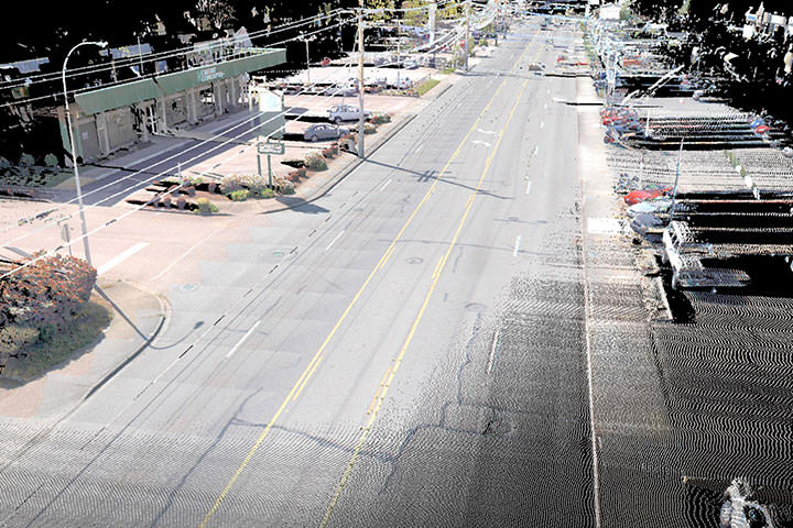
Using the most efficient, accurate, safe and cost effective methods, DEA provided design level mapping of over one-and-half miles of Auburn Way North which is the main north-south boulevard through the City of Auburn.

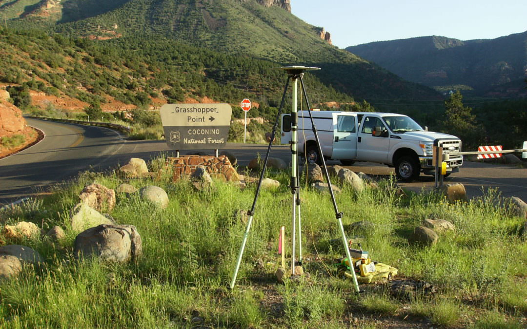
DEA’s survey team performed a control survey and collected 25 miles of data along SR89A from Sedona to Flagstaff using DEA’s mobile laser scanning system.

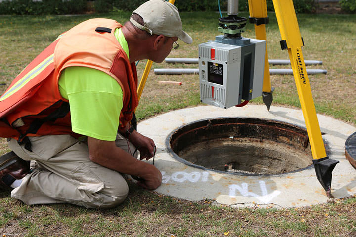
LA Metro contracted DEA to survey and develop a 3-D map of underground utilities along I-5 where HOV lanes are being added.