Marine Services :: Hydrographic and Marine Geophysical Services
Lower Mississippi River Precision Navigation Surveys
Mississippi River; Baton Rouge, LA, to Gulf of Mexico
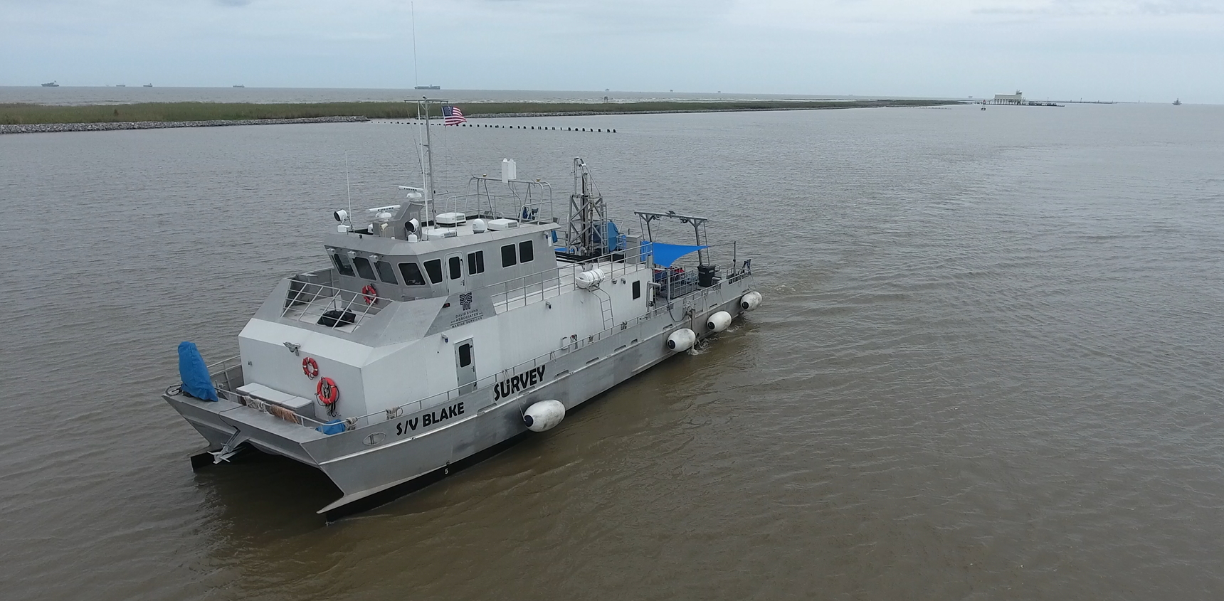
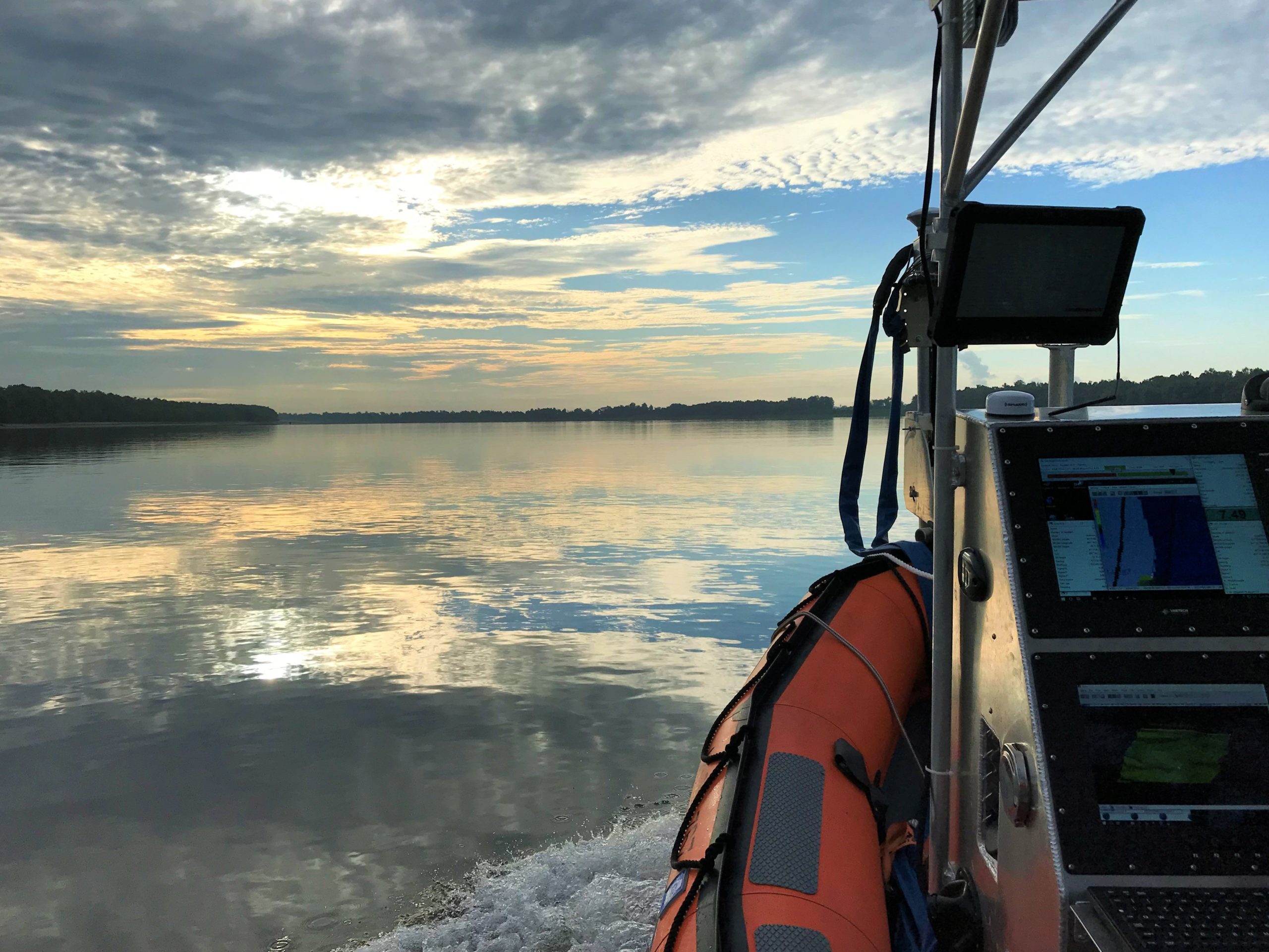
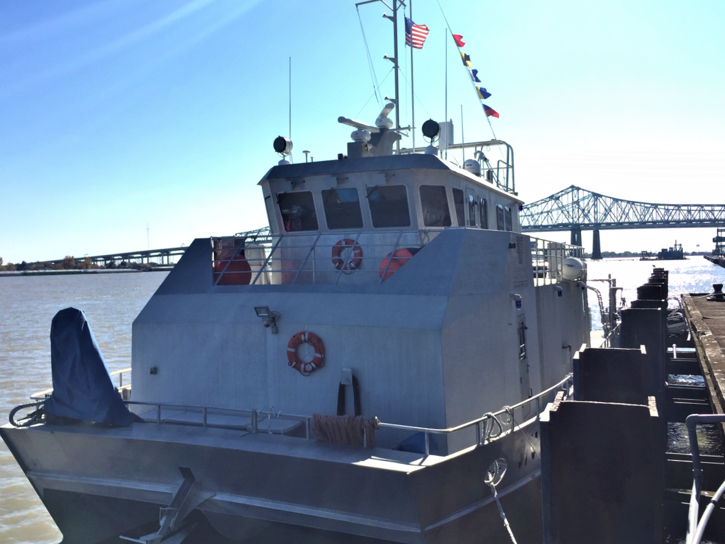
DEA Marine Services performed hydrographic surveys of approximately 260 miles of the lower Mississippi River in support of NOAA Office of Coast Survey’s Precision Charting Initiative, which will include new high-resolution charting products of the area. This stretch of the Mississippi River encompasses one of the largest port complexes in the U.S., and the marine transportation that occurs on the river is crucial to the nation’s economy.
A unique aspect of this project was that it included the acquisition, processing, and delivery of laser scan data, including an extensive shoreline investigation survey of bridges, overhead cables, marine terminals and other port and shoreline infrastructure as well as the verification and inventory of more than 4,000 above-water features. To assess these charted features more efficiently, a Mobile Mapping System (MMS) that is traditionally used for terrestrial mapping applications was outfitted on a DEA survey vessel to collect laser scan data and georeferenced imagery data of the project area’s shoreline, overhead cables, and bridges.
More