Marine Services :: Hydrographic and Marine Geophysical Services
Upper Columbia River Remedial Investigation and Feasibility Study
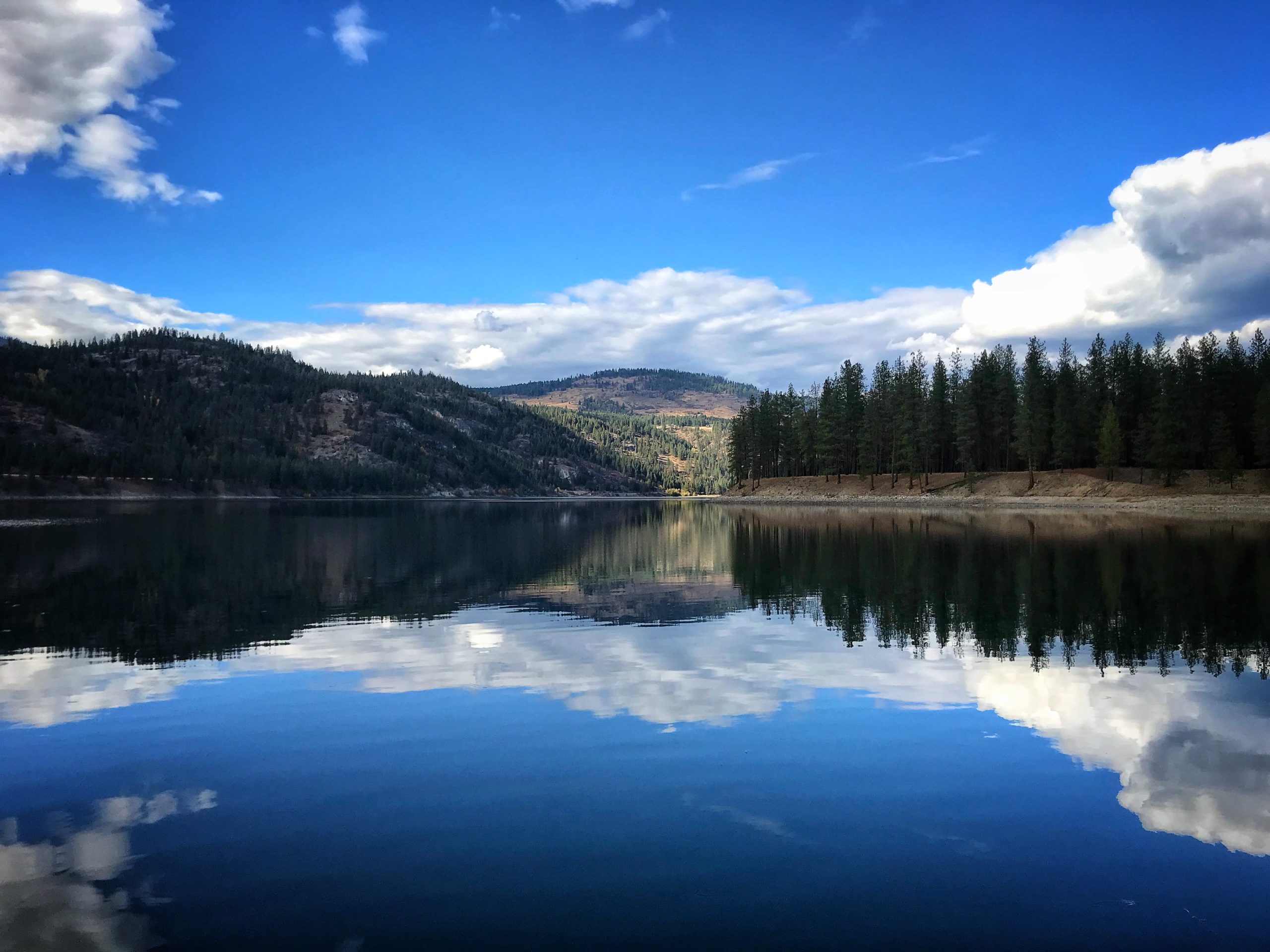
Columbia River, WA
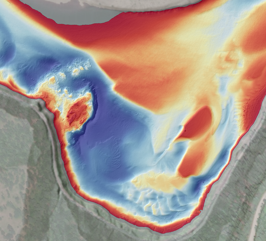
Since 2018, DEA Marine Services has provided hydrographic surveying and geoscientific consulting services as part of the Upper Columbia River Remedial Investigation and Feasibility Study — a complex, multidisciplinary project being conducted with multiple partners under the oversight of the Environmental Protection Agency (EPA). For this large-scale effort, DEA has acquired multibeam bathymetry and acoustic backscatter with bank-to-bank coverage of approximately 40 river miles. The project team also utilized underwater photographs and measurements of river current velocity to characterize riverbed substrate and produce high-resolution sediment maps of the study area with centimeter-scale accuracy. This is the first study of its kind to not only map and identify sediment types, but also estimate specific sediment grain-size fractions from acoustic data.
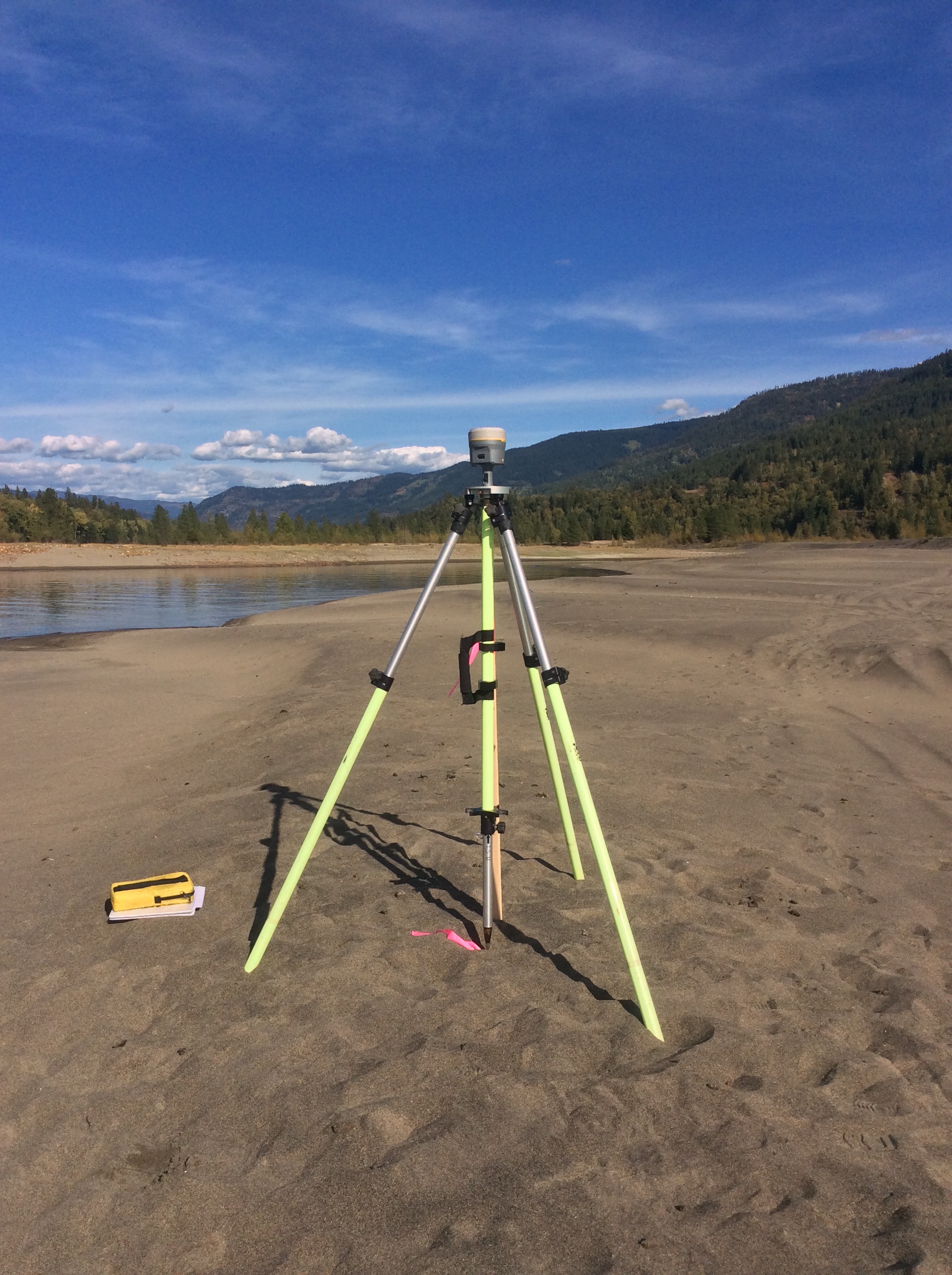
Prior to beginning hydrographic fieldwork, surveyors from DEA’s Marine Services Division and Surveying and Geomatics Center of Excellence worked together to establish a geodetic control network along the river to support real-time precise positioning of the survey vessel. This involved extensive collaboration with Washington state agencies as well as private landowners and cultural resources experts.
More