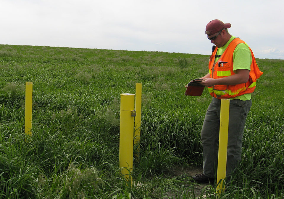
Pasco Hazardous Waste Waste Landfill
DEA provided 3D laser scanning services for this 250 acre landfill and the on-site operations building.

DEA provided 3D laser scanning services for this 250 acre landfill and the on-site operations building.
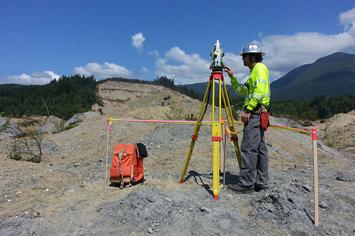
Following a landslide in Oso on March 22, 2014, DEA’s Marine Services Division assisted in emergency recovery and mapping operations in Landslide Lake and in the North Fork of Stillaguamish River.
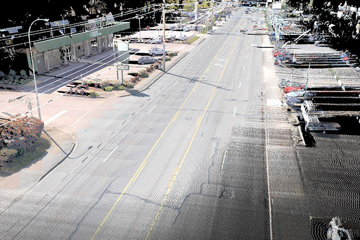
Using the most efficient, accurate, safe and cost effective methods, DEA provided design level mapping of over one-and-half miles of Auburn Way North which is the main north-south boulevard through the City of Auburn.
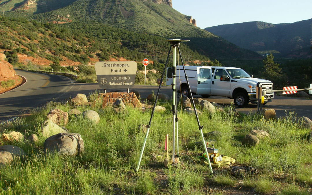
DEA’s survey team performed a control survey and collected 25 miles of data along SR89A from Sedona to Flagstaff using DEA’s mobile laser scanning system.
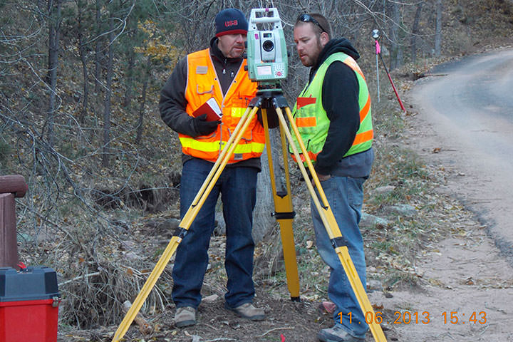
DEA performed topographic surveys on 3 sections of roadway in Boulder County, Colorado that had been damaged by the September/October 2013 flooding.