Surveying and Geomatics :: Conventional Land Surveying
4-0 Ranch Boundary Survey
McLoughlin Springs, WA
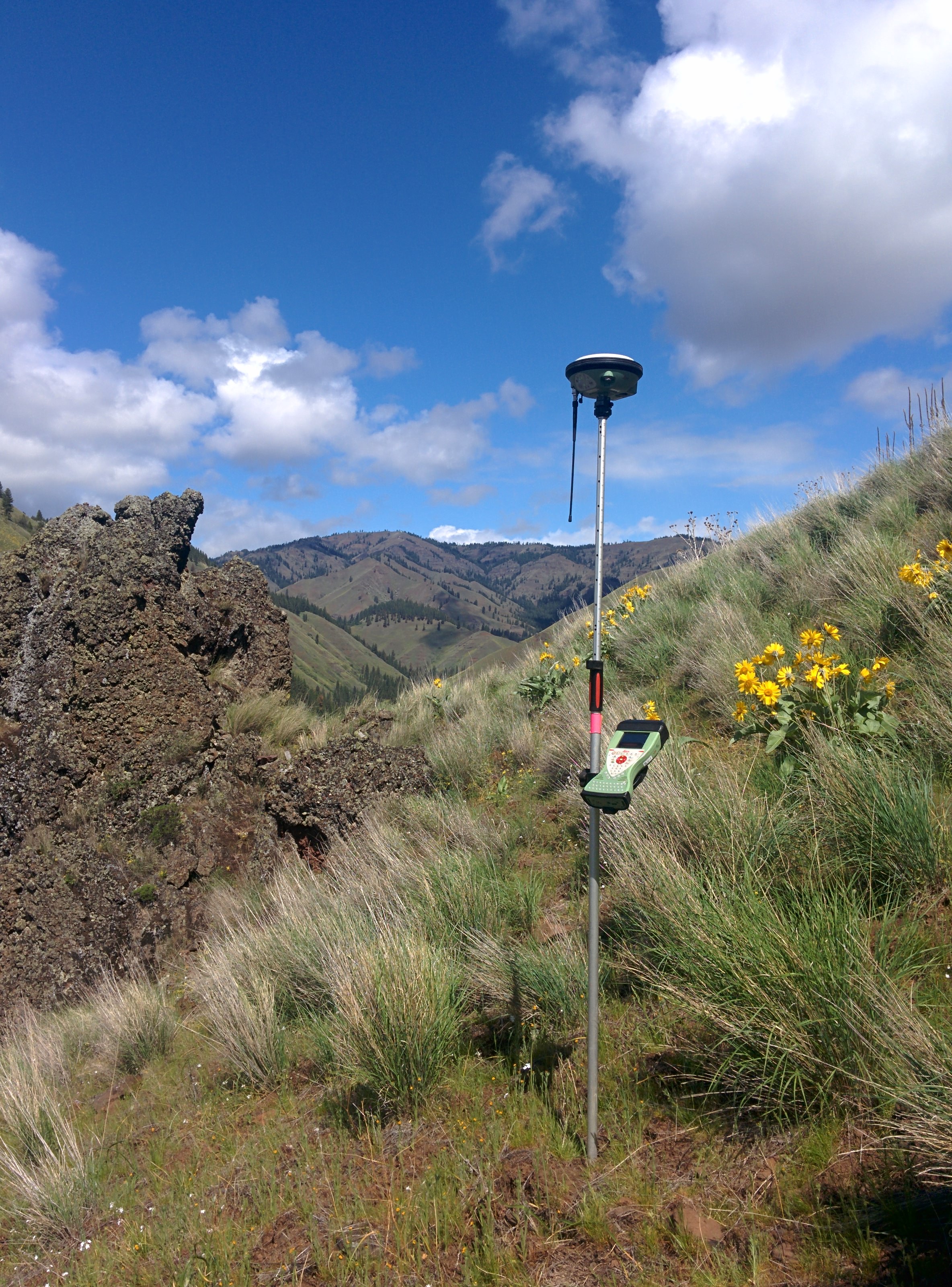
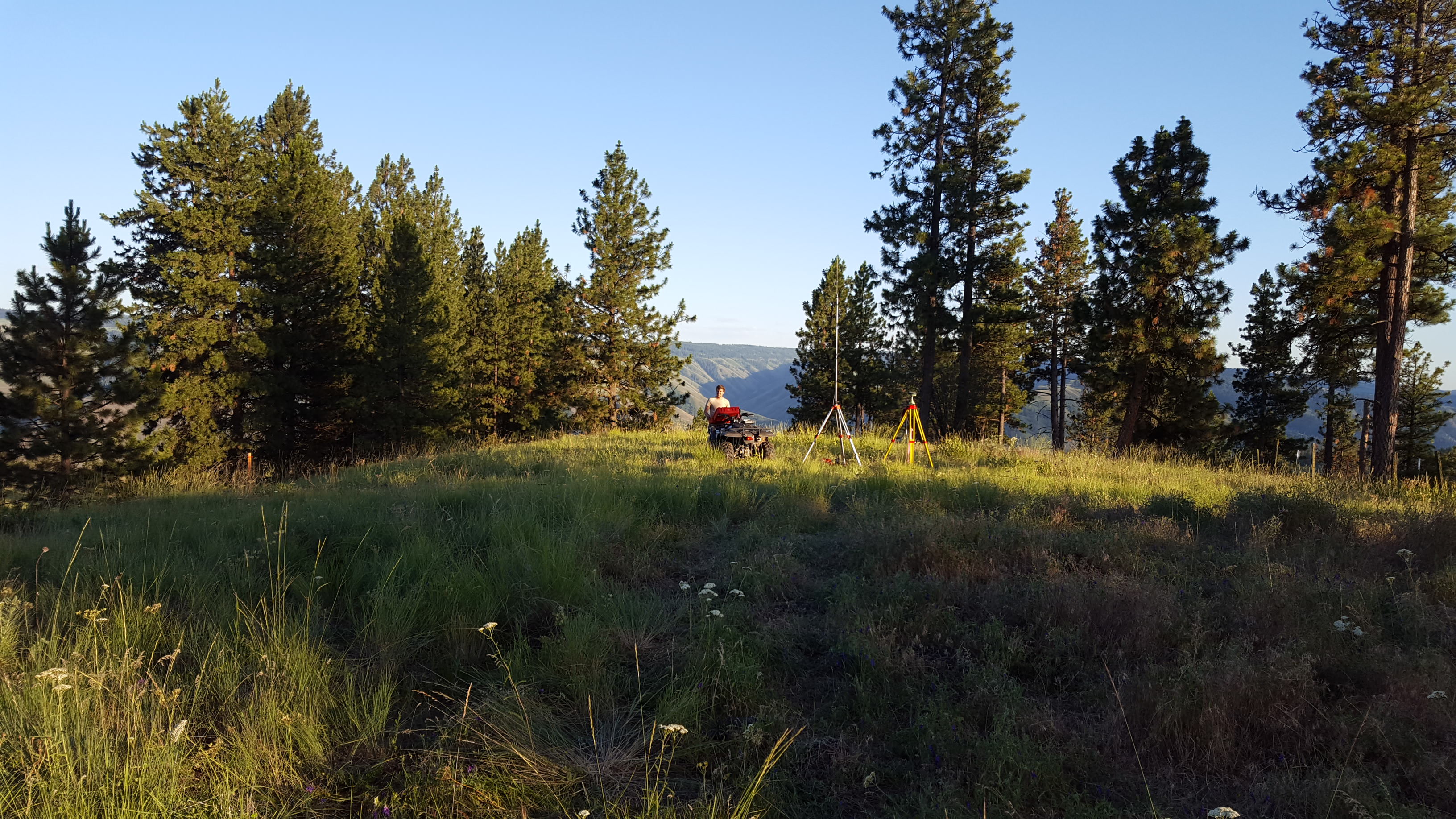
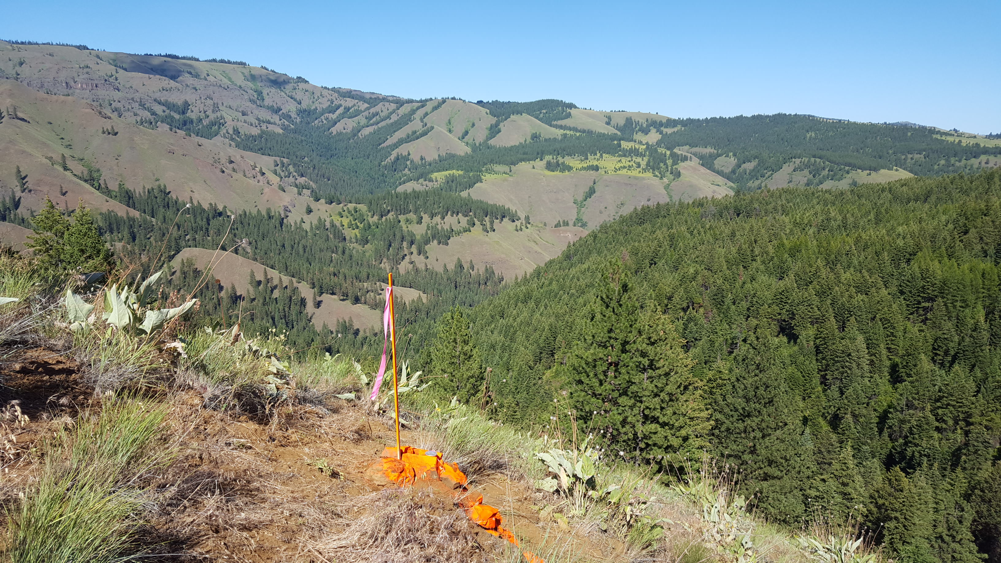
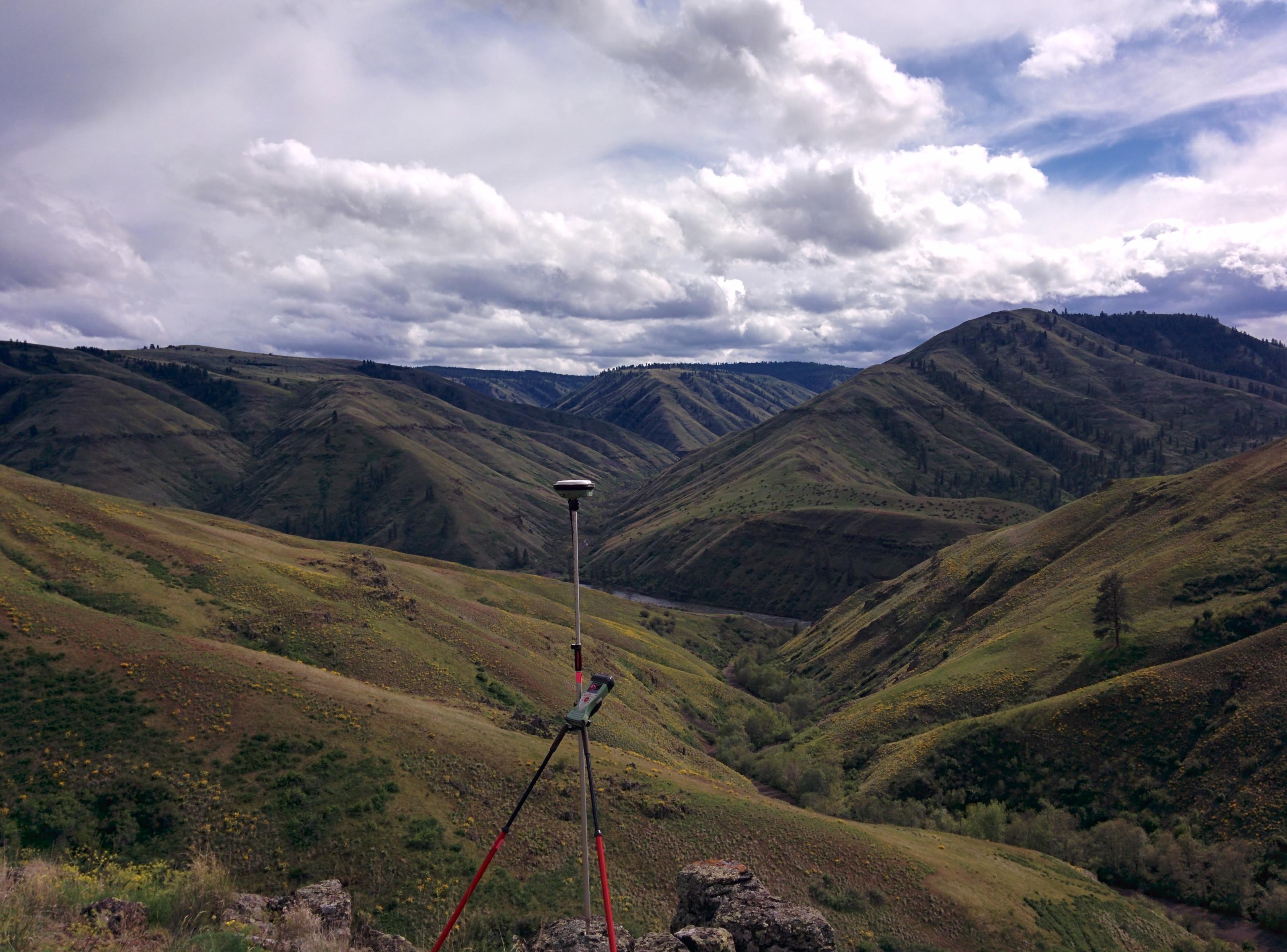
As a task order under DEA’s Washington Department of Fish and Wildlife (WDFW) on-call survey contract, DEA was asked to performed a boundary survey for approximately 2.8 miles of the 4-0 Ranch, which WDFW had recently acquired. DEA surveyors utilized convention survey methods to determine the boundary lines of the project, and established and set the necessary corner positions and monuments along those boundary lines. DEA provided the data to WDFW so that this information could be incorporated into the WDFW GIS lands database. DEA also prepared a record of survey that was recorded with the Asotin County Auditor.
More