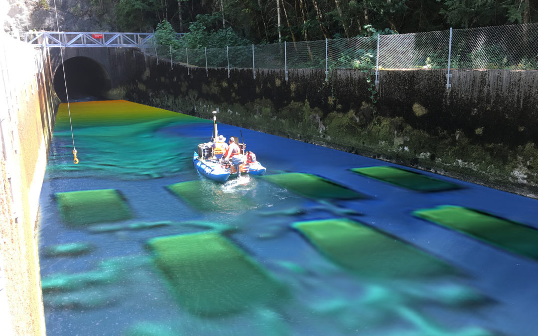
USACE Walla Walla District Hydrographic Surveying Services
DEA has a long history of providing hydrographic and land surveying services to the Walla Walla District, including several surveys on the Columbia, Snake, and Clearwater Rivers.

DEA has a long history of providing hydrographic and land surveying services to the Walla Walla District, including several surveys on the Columbia, Snake, and Clearwater Rivers.
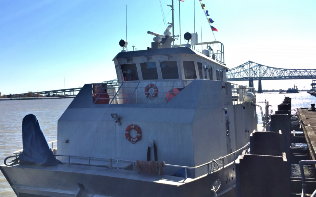
DEA Marine Services performed hydrographic surveys of approximately 260 miles of the lower Mississippi River in support of NOAA Office of Coast Survey’s Precision Charting Initiative.
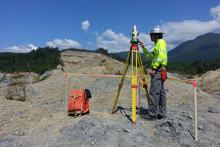
Following a landslide in Oso on March 22, 2014, DEA’s Marine Services Division assisted in emergency recovery and mapping operations in Landslide Lake and in the North Fork of Stillaguamish River.
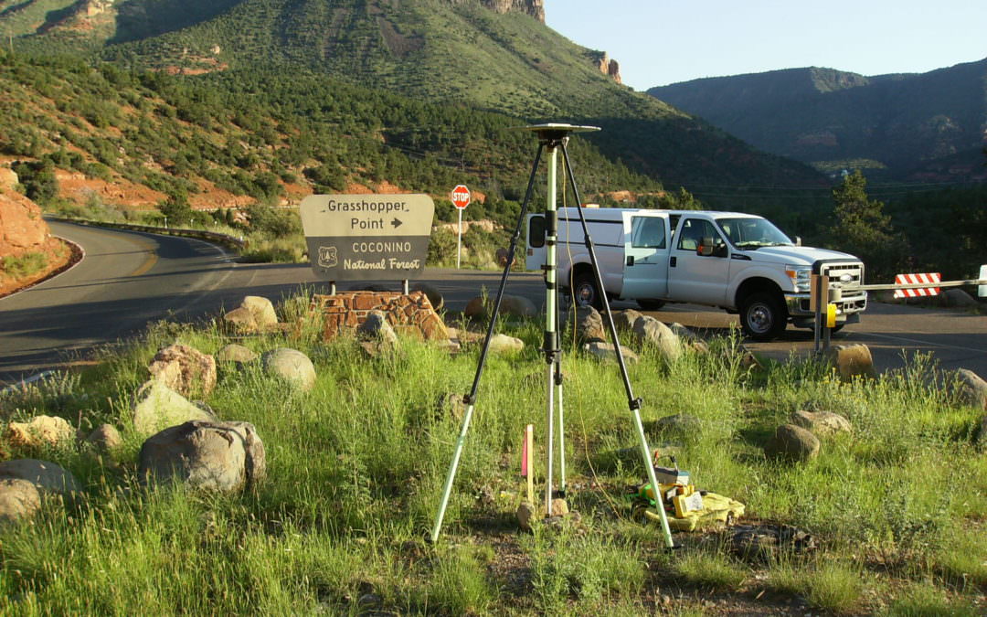
DEA’s survey team performed a control survey and collected 25 miles of data along SR89A from Sedona to Flagstaff using DEA’s mobile laser scanning system.
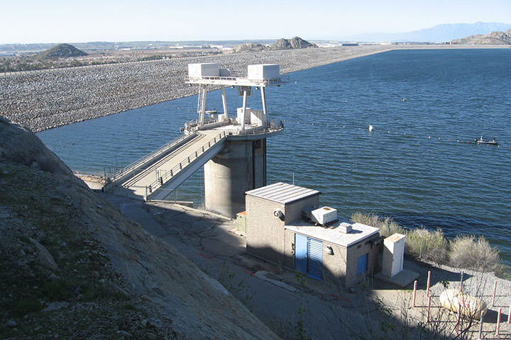
DEA surveyors are working together with the California Department of Water Resources to provide survey monitoring services during seismic repairs of the Perris Dam at California’s Lake Perris State Recreation Area.