Surveying and Geomatics :: Laser Scanning and Mapping
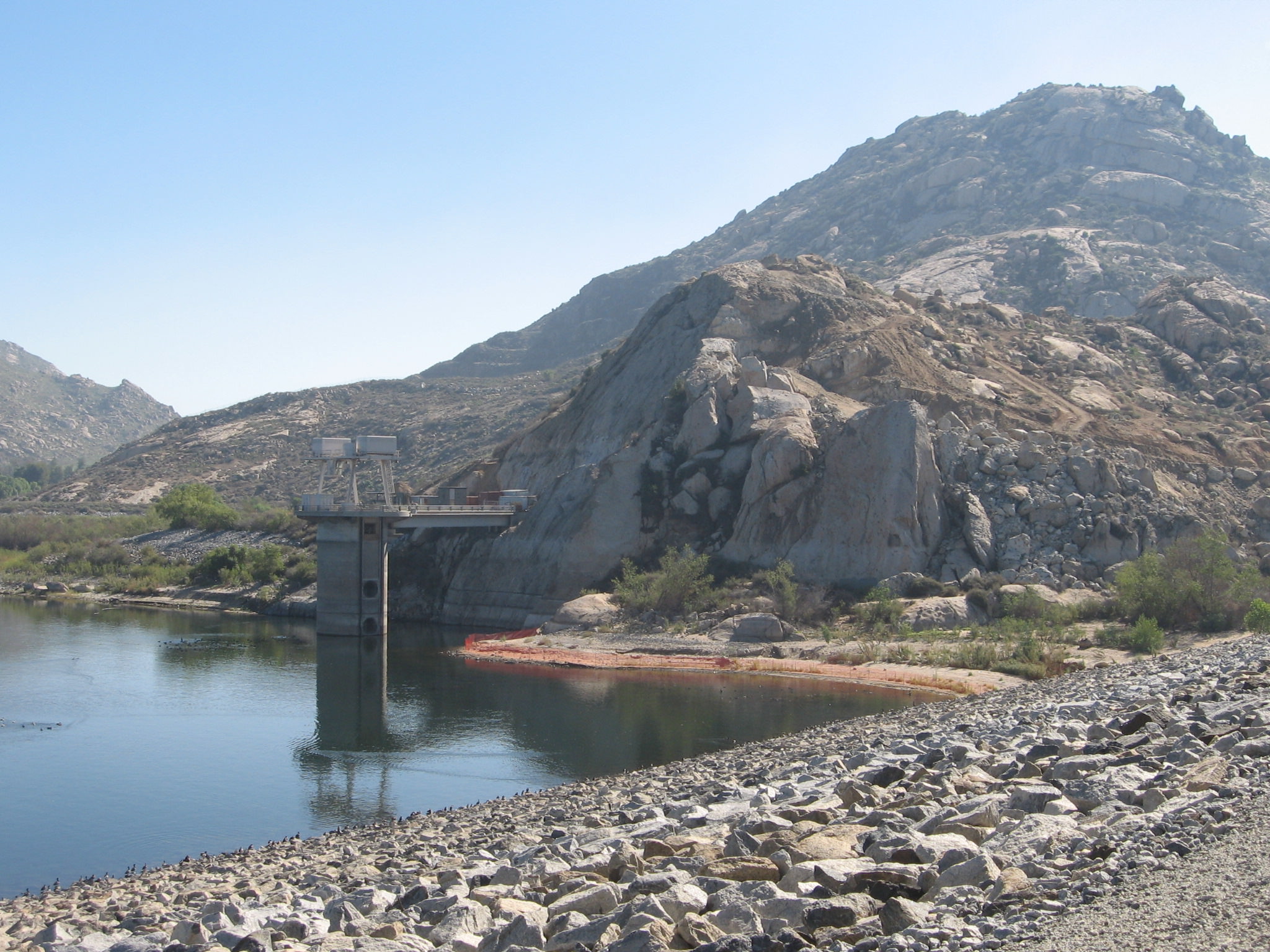
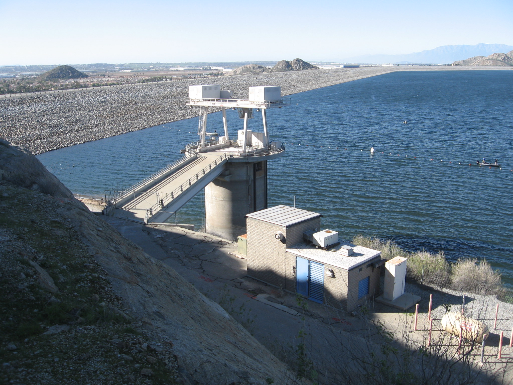
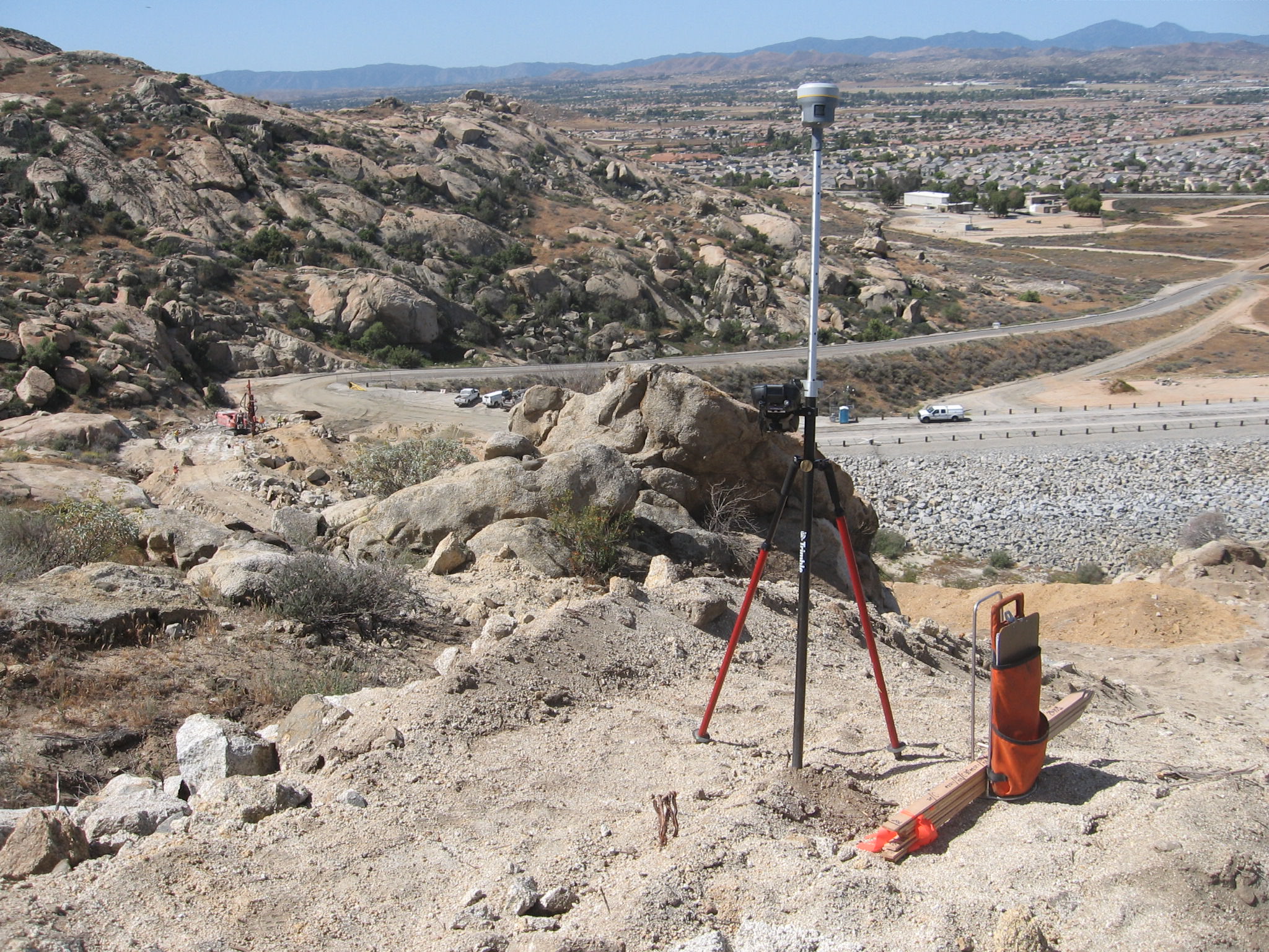
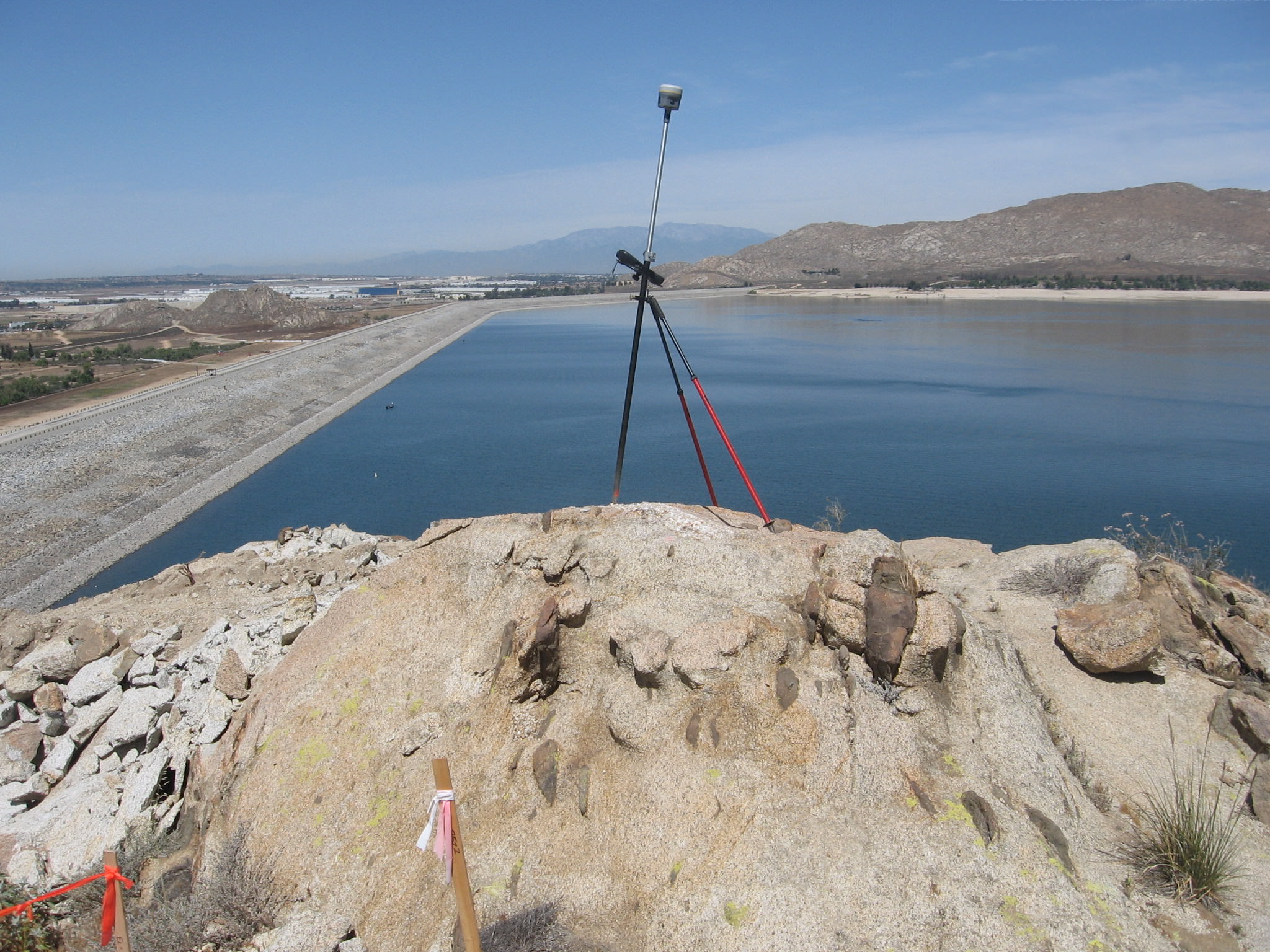
Perris Dam Seismic Remediation
Riverside County, CA
Lake Perris State Recreation Area is one of the state’s most popular recreation destinations. It offers water-oriented recreation facilities and activities including boating, swimming, day use, camping, and fishing. In 2005, the California Department of Water Resources identified potential seismic safety risks in a section of the foundation of Perris Dam. The dam repair is limited to the left reach of the dam, and includes constructing cement deep soil mixing cells to strengthen the deeper foundation materials, excavating and extending the existing drain system for the dam, and adding a stability berm on top of the improved foundation. The overall length of repair is approximately 5,000 feet. DEA surveyors are working together with the contractor by providing survey monitoring services. Included in these services are existing conditions surveys, construction staking, road and utility improvement staking, 3D laser scanning for accurate as-built and quantity calculations, and monitoring of control stations located at the base and top of the dam wall.
More