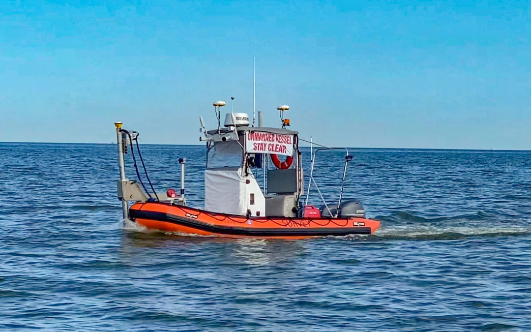
Mar 28, 2023
DEA Marine Services performed high-resolution hydrographic surveys of the Houston Ship Channel and Western Galveston Bay, Texas. These surveys required the collection of more than 6,000 nautical miles of multibeam bathymetry throughout the project area in depths as shallow as two meters, some of which were surveyed with an unmanned vessel.
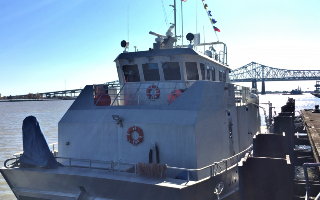
Mar 24, 2021
DEA Marine Services performed hydrographic surveys of approximately 260 miles of the lower Mississippi River in support of NOAA Office of Coast Survey’s Precision Charting Initiative.
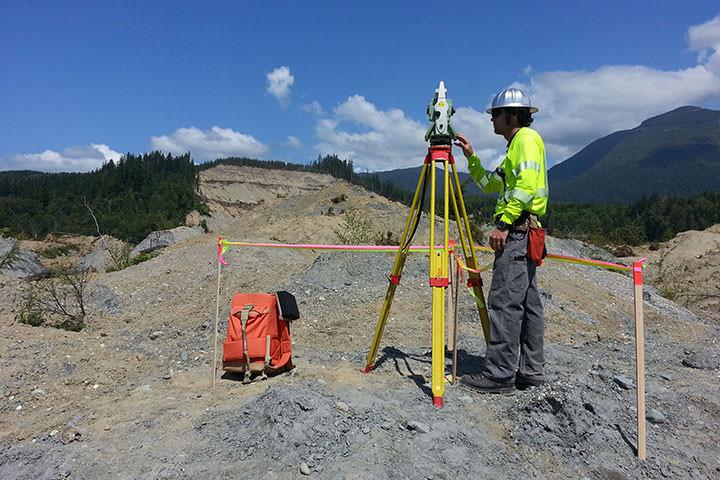
Oct 5, 2016
Following a landslide in Oso on March 22, 2014, DEA’s Marine Services Division assisted in emergency recovery and mapping operations in Landslide Lake and in the North Fork of Stillaguamish River.
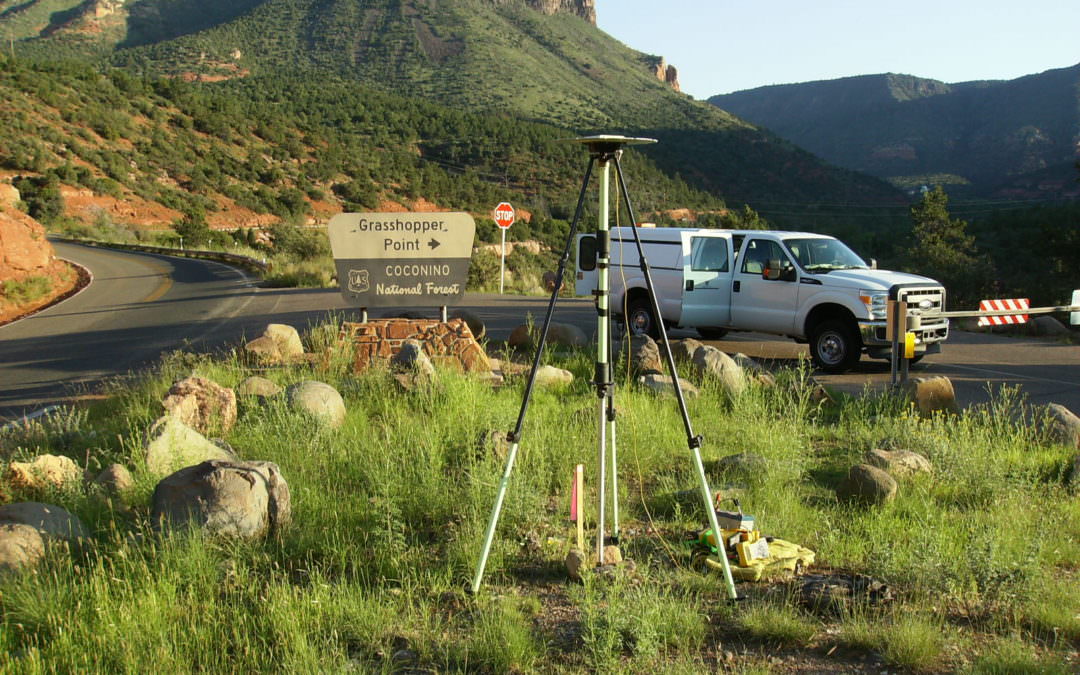
Sep 28, 2016
DEA’s survey team performed a control survey and collected 25 miles of data along SR89A from Sedona to Flagstaff using DEA’s mobile laser scanning system.
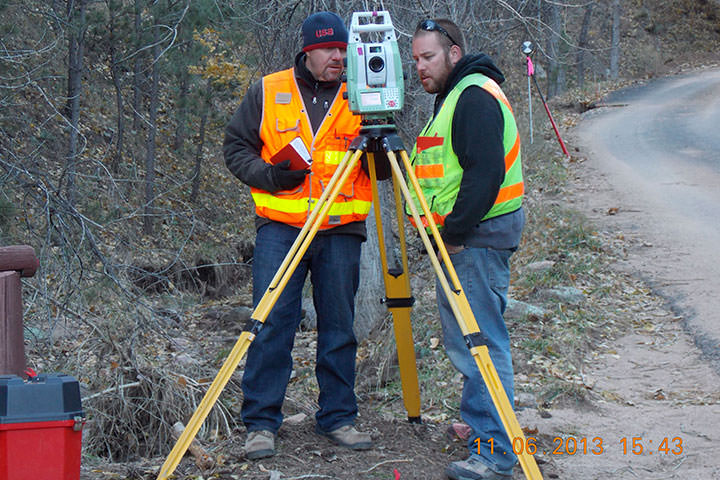
Sep 28, 2016
DEA performed topographic surveys on 3 sections of roadway in Boulder County, Colorado that had been damaged by the September/October 2013 flooding.