SR 89A, Pumphouse Wash to Overlook Topographic Survey
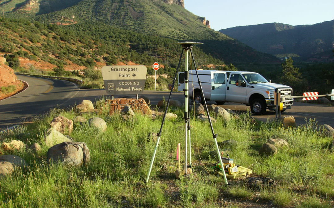
DEA’s survey team performed a control survey and collected 25 miles of data along SR89A from Sedona to Flagstaff using DEA’s mobile laser scanning system.
DEA’s survey team performed a control survey and collected 25 miles of data along SR89A from Sedona to Flagstaff using DEA’s mobile laser scanning system.
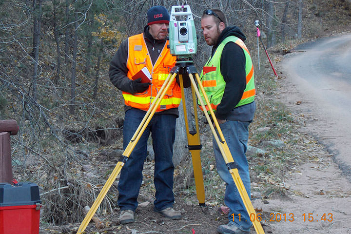
DEA performed topographic surveys on 3 sections of roadway in Boulder County, Colorado that had been damaged by the September/October 2013 flooding.
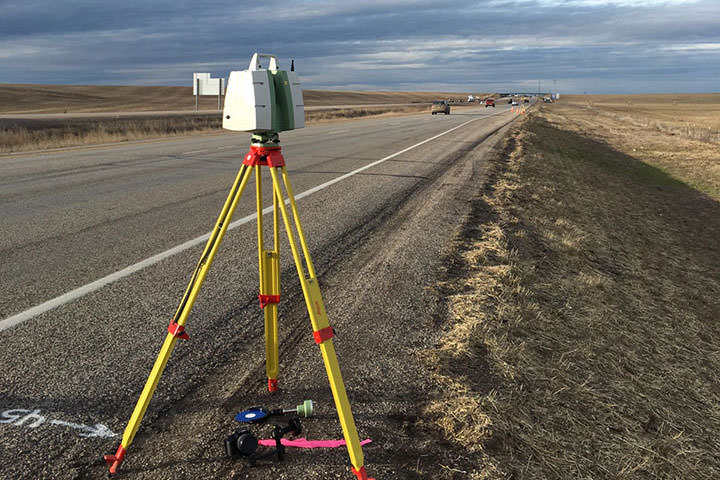
DEA was selected by ITD District 6 to provide surveying services for the I-15, Lava Rocks project just South of Idaho Falls, Idaho.
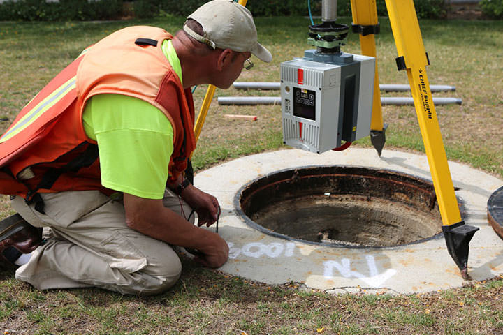
LA Metro contracted DEA to survey and develop a 3-D map of underground utilities along I-5 where HOV lanes are being added.
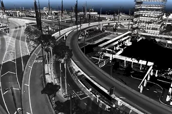
As part of the LAX expansion project, DEA provided High Definition 3D Laser Scanning surveys of the arrival and departure roadways, all the landside terminals, interior terminal and exterior surface roads.
We take pride in our outstanding reputation, industry accolades, and unwavering commitment to excellence. Our vision to be the best is exemplified in our work.
Read More:
Through DEA’s Officer Program, employees have the opportunity to share in ownership and the success of our projects and the satisfaction of our clients.
With more than 47 years of proven success, DEA is a well-established organization that offers stability and financial security.
We take pride in our recognition as a Best Place to Work and a Healthiest Workplace, showcasing our dedication to creating a positive, fulfilling, and fun workplace for our employees.
Our values and company culture form the foundation of our success, influencing our actions and creating a positive work environment. Embraced by all DEA team members, these guiding principles are vital to our continued achievements and unwavering commitment.
Read more:
DEA leads the industry in engineering, design, and construction services, driven by our unwavering commitment to innovation and excellence. Continuously seeking new avenues of improvement, we invest in cutting-edge technologies to deliver exceptional results.
Read more:
At DEA, we are committed to supporting the health, happiness, and financial security of our employees. We offer a variety of benefits tailored to meet individual needs, including comprehensive healthcare coverage, retirement planning assistance, and other financial support. Our goal is to provide the resources you need to live a fulfilling life, while also giving you peace of mind about your financial future. We recognize that everyone's needs are different, which is why we have designed a flexible benefits program that allows you to select the options that are most valuable to you.
Read more: