4-0 Ranch Boundary Survey
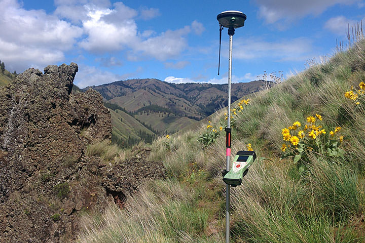
DEA performed a boundary survey for approximately 2.8 miles of the 4-0 Ranch which had been recently acquired by Washington Department of Fish and Wildlife.
DEA performed a boundary survey for approximately 2.8 miles of the 4-0 Ranch which had been recently acquired by Washington Department of Fish and Wildlife.
Following a landslide in Oso on March 22, 2014, DEA’s Marine Services Division assisted in emergency recovery and mapping operations in Landslide Lake and in the North Fork of Stillaguamish River.
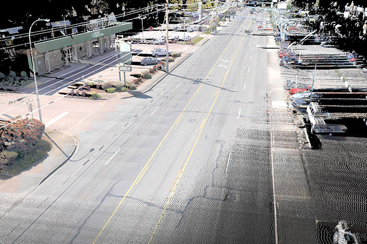
Using the most efficient, accurate, safe and cost effective methods, DEA provided design level mapping of over one-and-half miles of Auburn Way North which is the main north-south boulevard through the City of Auburn.
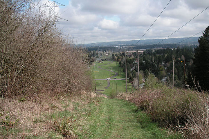
DEA provided project management, land survey, environmental and land use permitting, master planning, utility coordination, preliminary engineering, and construction engineering services for segments 1, 4 & 7 of the Westside Trail, which connects the city of Tualatin with Portland’s Forest Park.
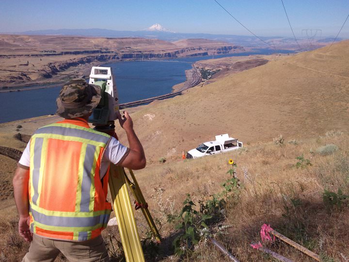
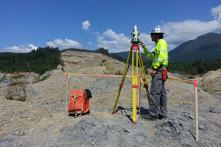
DEA provided the surveying and mapping services required for BPA and their Owner’s Engineer to design, acquire rights, and complete permits to construct a new 500kV transmission line from Big Eddy Substation, near The Dalles, Oregon, to the new Knight Substation near Goldendale, Washington.
We take pride in our outstanding reputation, industry accolades, and unwavering commitment to excellence. Our vision to be the best is exemplified in our work.
Read More:
Through DEA’s Officer Program, employees have the opportunity to share in ownership and the success of our projects and the satisfaction of our clients.
With more than 47 years of proven success, DEA is a well-established organization that offers stability and financial security.
We take pride in our recognition as a Best Place to Work and a Healthiest Workplace, showcasing our dedication to creating a positive, fulfilling, and fun workplace for our employees.
Our values and company culture form the foundation of our success, influencing our actions and creating a positive work environment. Embraced by all DEA team members, these guiding principles are vital to our continued achievements and unwavering commitment.
Read more:
DEA leads the industry in engineering, design, and construction services, driven by our unwavering commitment to innovation and excellence. Continuously seeking new avenues of improvement, we invest in cutting-edge technologies to deliver exceptional results.
Read more:
At DEA, we are committed to supporting the health, happiness, and financial security of our employees. We offer a variety of benefits tailored to meet individual needs, including comprehensive healthcare coverage, retirement planning assistance, and other financial support. Our goal is to provide the resources you need to live a fulfilling life, while also giving you peace of mind about your financial future. We recognize that everyone's needs are different, which is why we have designed a flexible benefits program that allows you to select the options that are most valuable to you.
Read more: