Marine Services :: Hydrographic and Nautical Charting
NOAA Eastern Vicinity of the Chandeleur Islands Survey
Coastal MS and LA
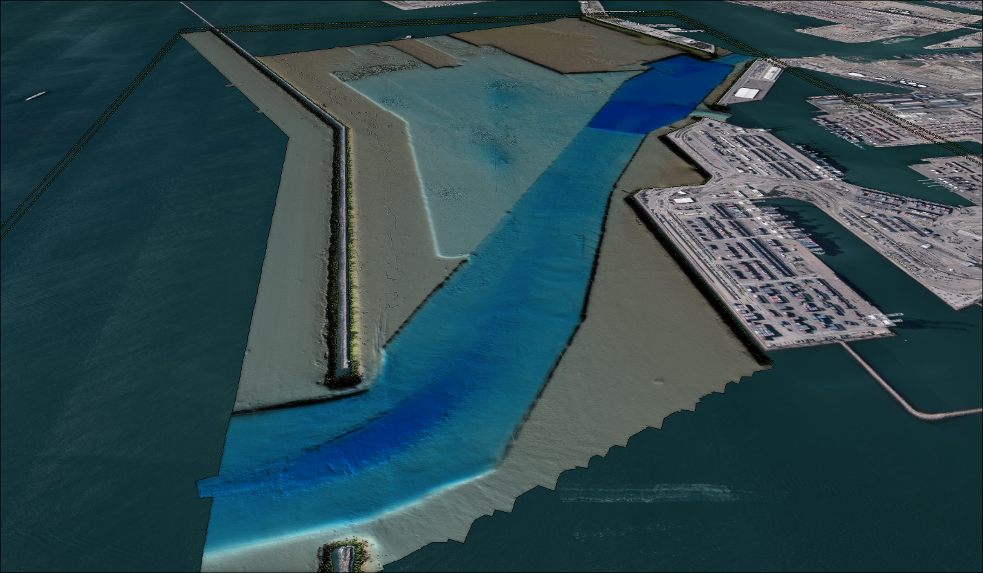
David Evans and Associates, Inc. (DEA) successfully executed an intricate survey task encompassing 263 square nautical miles in the Gulf of Mexico. The vast survey coverage stretched across unique sections of the Breton Sound Alternate Route and the area southeast of the Chandeleur Islands.
In 2016, the Breton Sound alternate traffic route acted as a lifesaver amid the closure of the INHC Lock in New Orleans, extending from Ship Island in the north to Baptiste Collette in the South. Our survey also reached into the Mississippi Sound for feature disproval and covered 262 square nautical miles, densely populated with oil platforms and well heads.
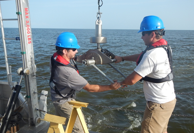
Utilizing modern and efficient data acquisition systems, DEA’s custom-built Survey Vessel Blake, conducted around-the-clock operations applying remote sensing techniques per NOAA standards. This vessel, equipped with a host of state-of-the-art tools like the GNSS/inertial motion reference and positioning system, multibeam bathymetric sonar, and a side scan sonar, ensured an extensive and in-depth survey of the area.
The team further analyzed the seafloor’s nature, strategically acquiring bottom samples over the survey area. Our methods and deliverables flawlessly met the standards set in the National Ocean Service (NOS) Hydrographic Surveys Specifications and Deliverables (HSSD) (April 2016). DEA also enhanced the survey’s vertical accuracy by modifying tidal zoning, winning NOAA’s approval.
More