Marine Services :: Hydrographic and Nautical Charting
NOAA Shallow Water Multibeam Survey
OR Coast
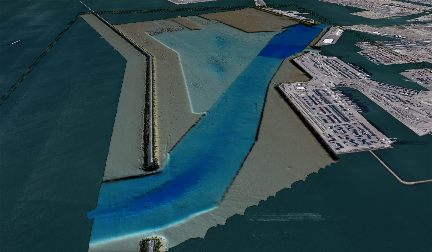
Tasked with conducting object detection multibeam bathymetric surveys and associated backscatter over eight survey areas along the Northern Oregon Coast, DEA covered approximately 196 square nautical miles. Leveraging the cutting-edge R/V Pacific Storm and our second MVP-30 moving vessel profiler equipped with a dissolved oxygen sensor, our team executed comprehensive 24/7 survey operations. The data acquired plays a vital role in updating nautical charts, identifying navigational hazards, contributing to tsunami inundation models, and cataloging the intricate natural features of coastal seabeds and aquatic life. This effort not only supports the West Coast Governor’s Agreement but also equips coastal managers and researchers with essential data for marine spatial planning and the protection of coastal communities and marine habitats. DEA’s innovative approach, utilizing Ellipsoid Referenced Surveying (ERS) for enhanced precision, and our relentless commitment to excellence, further our proud legacy as leaders in marine stewardship and hydrographic surveying.
More