Mar 28, 2023
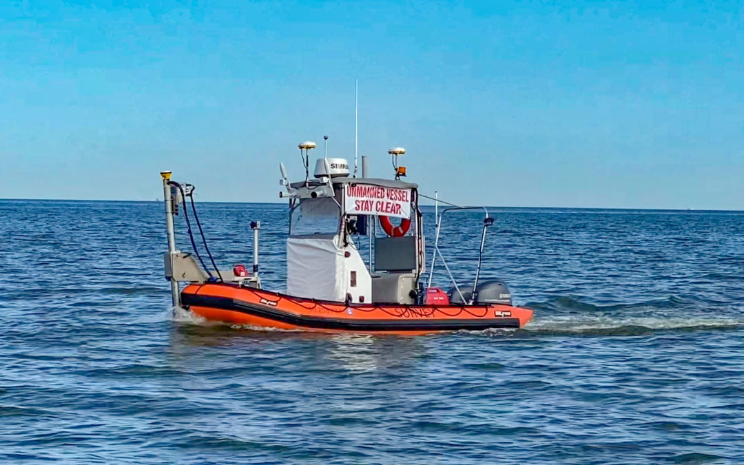
DEA Marine Services performed high-resolution hydrographic surveys of the Houston Ship Channel and Western Galveston Bay, Texas. These surveys required the collection of more than 6,000 nautical miles of multibeam bathymetry throughout the project area in depths as shallow as two meters, some of which were surveyed with an unmanned vessel.
Mar 27, 2023
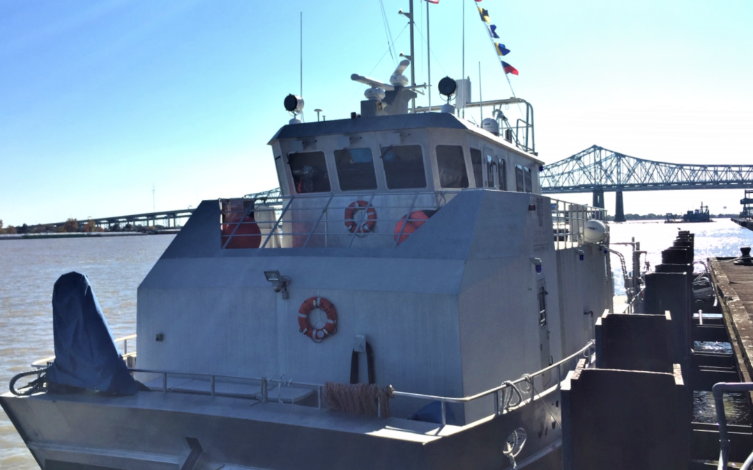
DEA Marine Services provided emergency response services to support the opening of critical ports following the landfall of Hurricane Ida in 2020. Under a task order for the National Oceanic and Atmospheric Administration (NOAA) Office of Coast Survey, DEA conducted 24-hour operations to survey the approaches to Port Fourchon and Houma, Louisiana.
Mar 24, 2021
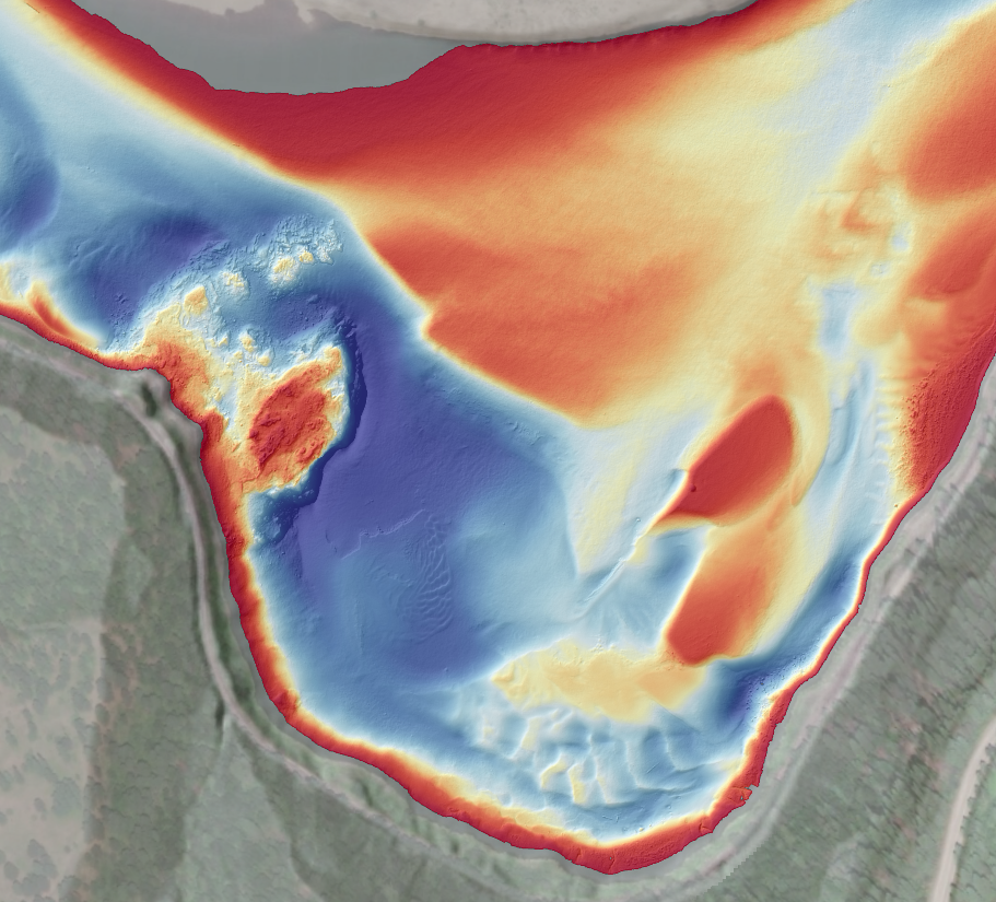
DEA Marine Services performed hydrographic surveys of approximately 260 miles of the lower Mississippi River in support of NOAA Office of Coast Survey’s Precision Charting Initiative.
Mar 23, 2021
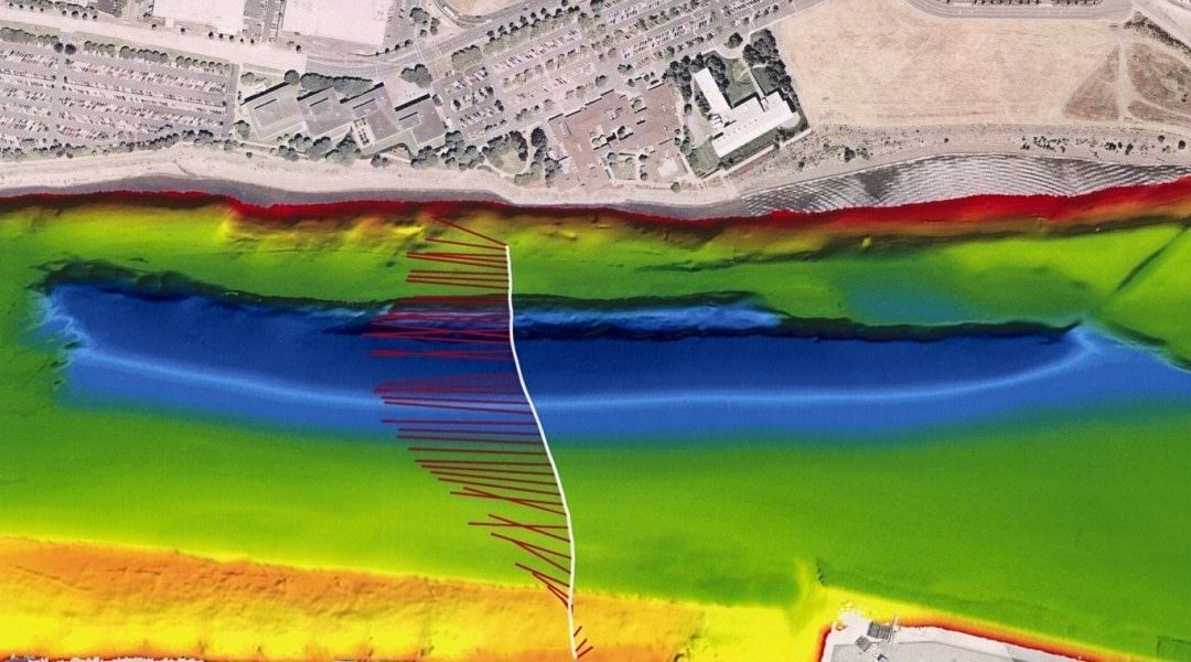
Since 2018, DEA Marine Services has provided hydrographic surveying and geoscientific consulting services as part of the Upper Columbia River Remedial Investigation and Feasibility Study.
May 17, 2016
DEA conducted a series of high resolution multibeam bathymetric surveys and Acoustic Doppler Current Profiling surveys in support of the Remedial Investigation/Feasibility Study to evaluate the transport of contaminated sediments in the Willamette River.