
Mar 26, 2024
DEA civil engineers and surveyors supported the work of Project Architect Miller Hull Partnership as they transformed an aging big-box store into the LEED Silver-rated Kirkland Public Safety Building.
Dec 11, 2020
DEA led team provided planning, environmental, and engineering expertise to develop and screen alternatives for a new arterial road for Washington County from Tualatin-Sherwood Road to Tonquin Road, and east to connect with Grahams Ferry Road.
Aug 8, 2019
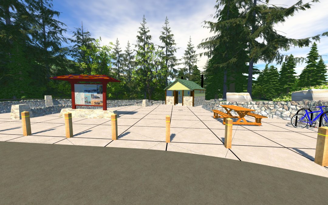
DEA provided complete multidisciplinary services for this Mt. Hood National Forest trailhead relocation project.
Jan 4, 2017
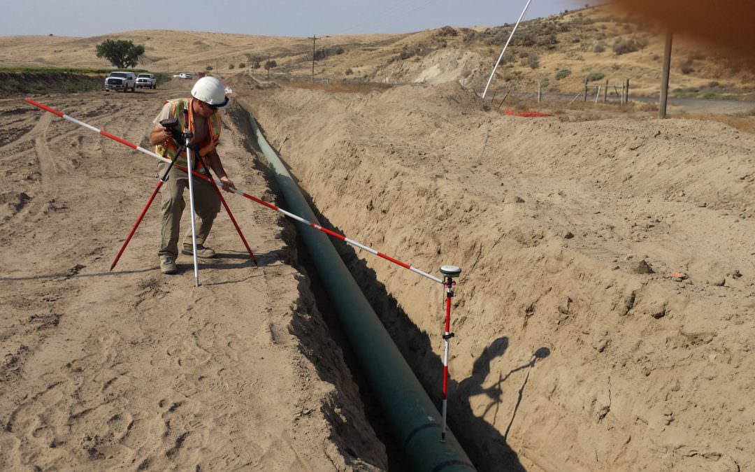
DEA provided cadastral, boundary, topographic maps and shape files in AutoCAD and GIS formats for this natural gas pipe line project connecting Boardman to Heppner.
Oct 5, 2016
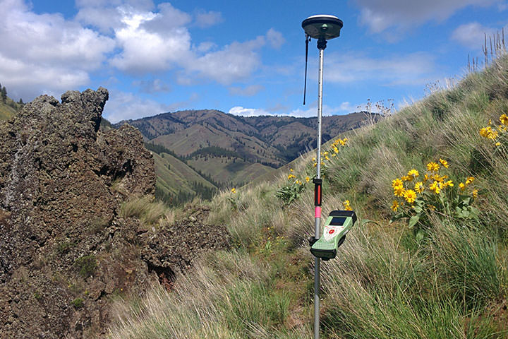
DEA performed a boundary survey for approximately 2.8 miles of the 4-0 Ranch which had been recently acquired by Washington Department of Fish and Wildlife.