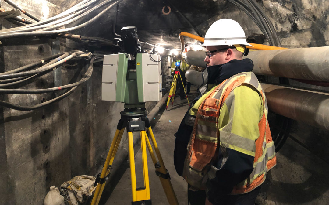
Duffy Haggarty and Pat Gaylord presented Geospatial from the Ground and Up at Record Speeds at a recent APWA Oregon conference. The session explored DEA’s use of survey technology, mobile/static laser scanning, and sUAS photogrammetry to elevate the design process and meet client needs and safety standards.

