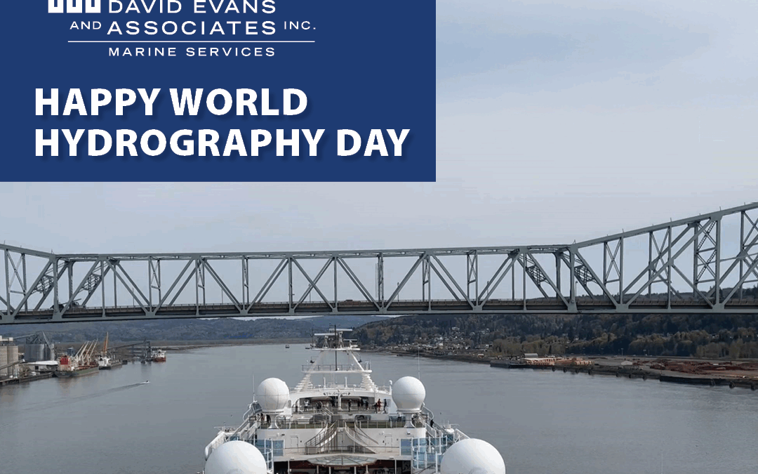
On World Hydrography Day, DEA recognizes the dedicated work of hydrographers who help keep maritime commerce safe and efficient in our inland waterways.
This requires using accurate datums; shore-to-shore, feature detection-bathymetry; and vessel lidar scanning of bridges, transmission lines, and marine terminals for precision charting of vertical clearances and shoreline infrastructure.
This summer, DEA is surveying 145 miles of the Lower Columbia River and 17 miles of the Willamette River through the Portland Harbor. This effort is in support of the National Ocean Service, Office of Coast Survey, mission to acquire detailed hydrographic data to update old 1:40,000-scale paper (raster) charts to higher precision 1:12,000-scale electronic navigational charts along with laser scanning clearances on bridges and overhead transmission lines to support safe maritime commerce and the increased demand on the Columbia River maritime highway.