Surveying and Geomatics :: Laser Scanning and Mapping
I-15 Survey, Lava Rocks North to Interchange 108
Idaho Falls, ID
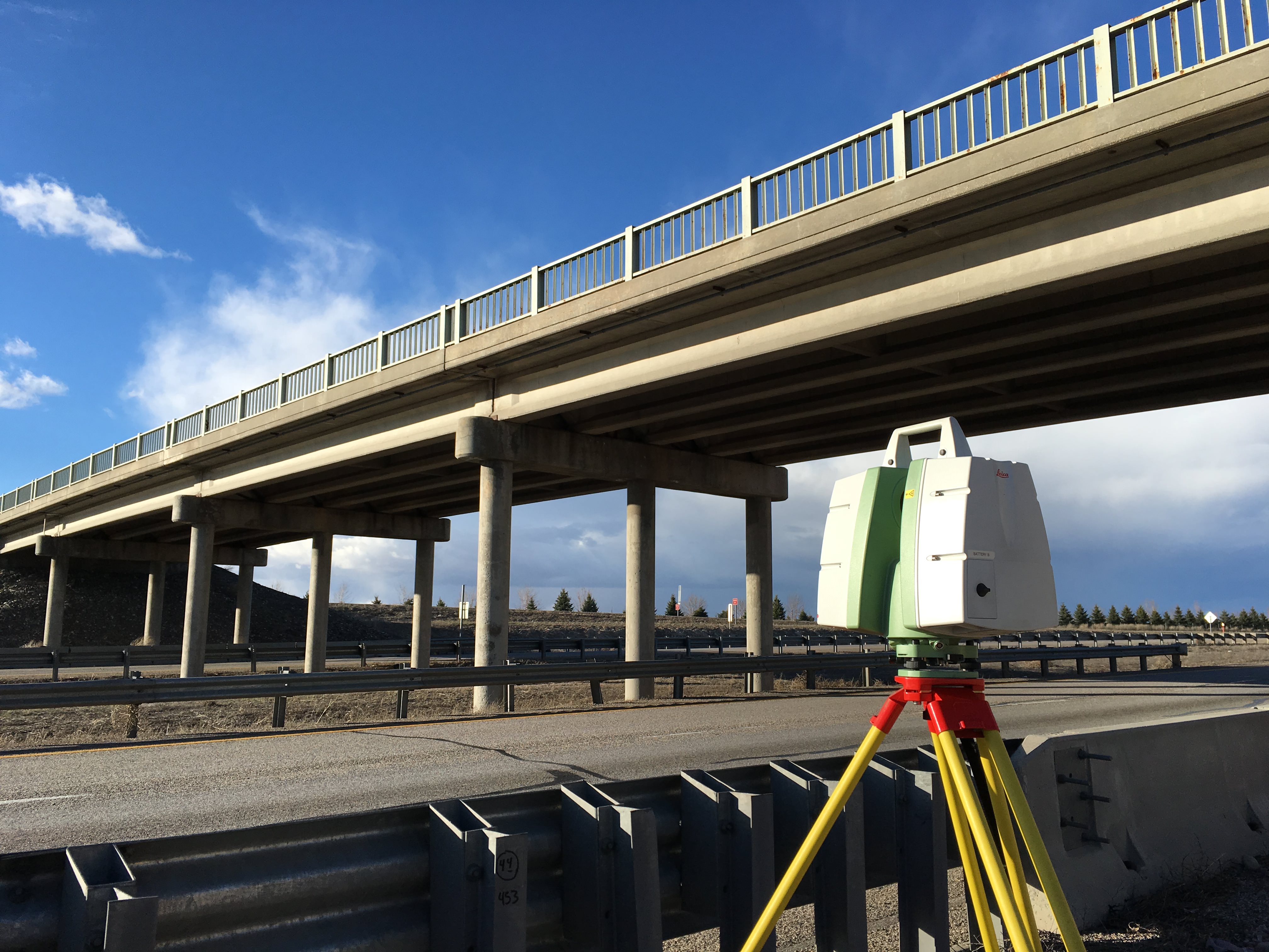
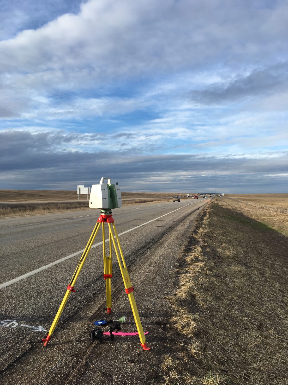
DEA was selected by Idaho Transportation Department (ITD) District 6 to provide surveying services for the I-15, Lava Rocks Project just South of Idaho Falls, Idaho, along I-15. The entire project corridor is nearly 6 miles in length; DEA provided detailed topographic mapping on two 4,000-foot stretches for the purpose of crossover lane design. DEA utilized the 3D static laser scanning technologies for efficiency and safety reasons, and was able to collect each stretch without entering into any lanes of traffic. DEA was also responsible for verifying the height of two overhead structures at the Baseline Road and Shelley interchanges. DEA also provided a complete GPS static network with points at 1-mile intervals for primary control and 1,000-foot intervals between secondary control throughout the project corridor. A project control report and control sheet with monument preservation were provided as well.