Surveying and Geomatics | Land Development
Westside Trail Segments 1, 4, and 7 Route Survey
Beaverton, OR
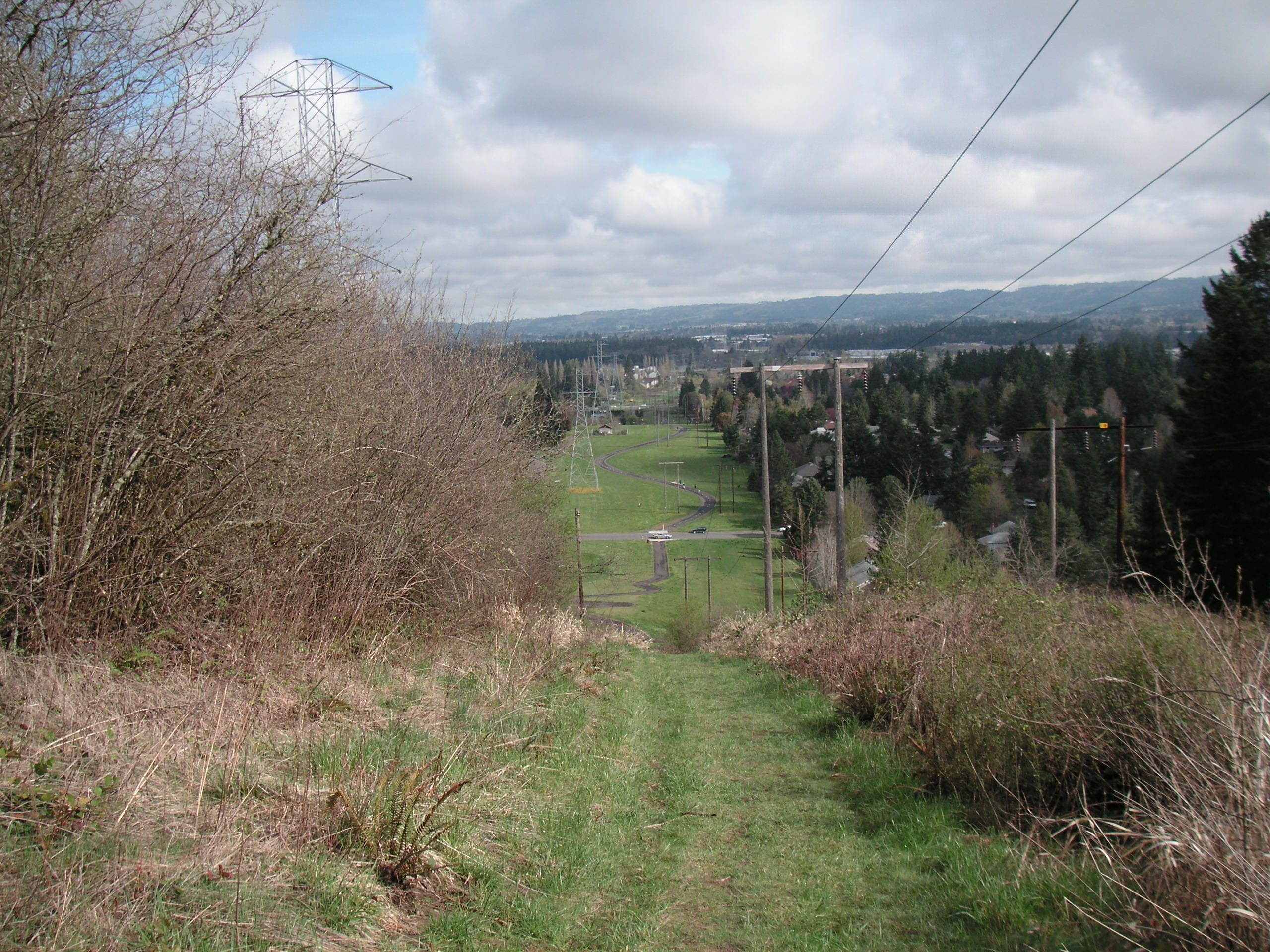
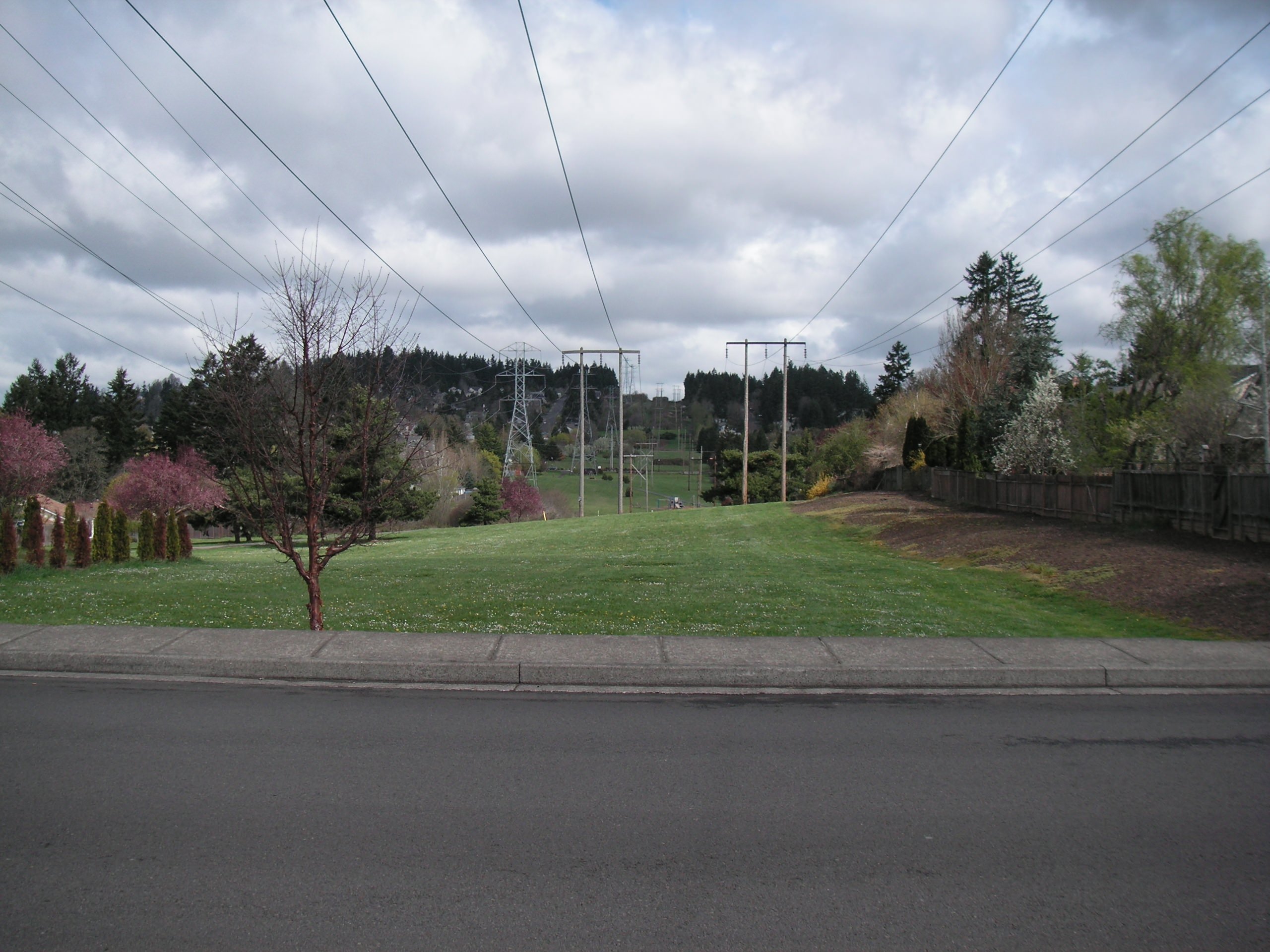
The Westside Trail is a 25-mile-long regional trail that connects the city of Tualatin with the city of Portland’s 5,000-acre Forest Park as well as to the 40-Mile Loop trail. Working for the Tualatin Hills Park & Recreation District, DEA provided project management, land survey, environmental and land use permitting, master planning, utility coordination, preliminary engineering (including Plans, Specifications, and Estimates (PS&E)), and construction engineering services for segments 1, 4, and 7 of the trail (approximately 2 miles, mostly in Bonneville Power Administration right-of-way). As part of this project, DEA’s survey team was responsible for completing a route survey utilizing GPS technology, and for providing legal descriptions and exhibits.
More
Surveying and Geomatics
Key Contacts :: Related Projects
Land Development
Key Contacts :: Related Projects