Surveying and Geomatics :: Laser Scanning and Mapping
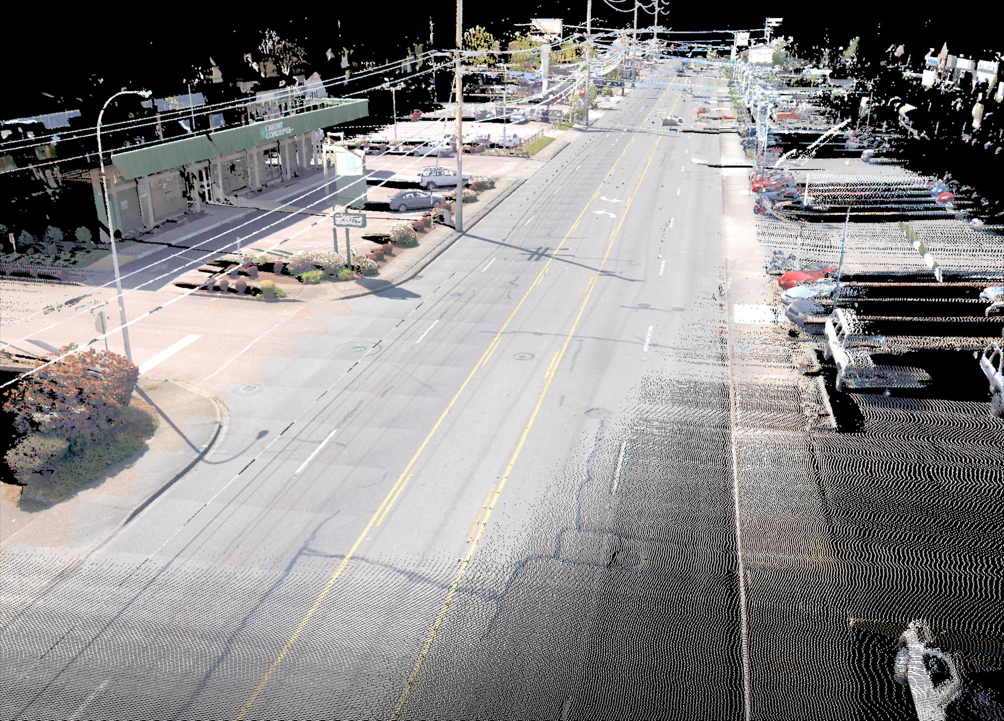
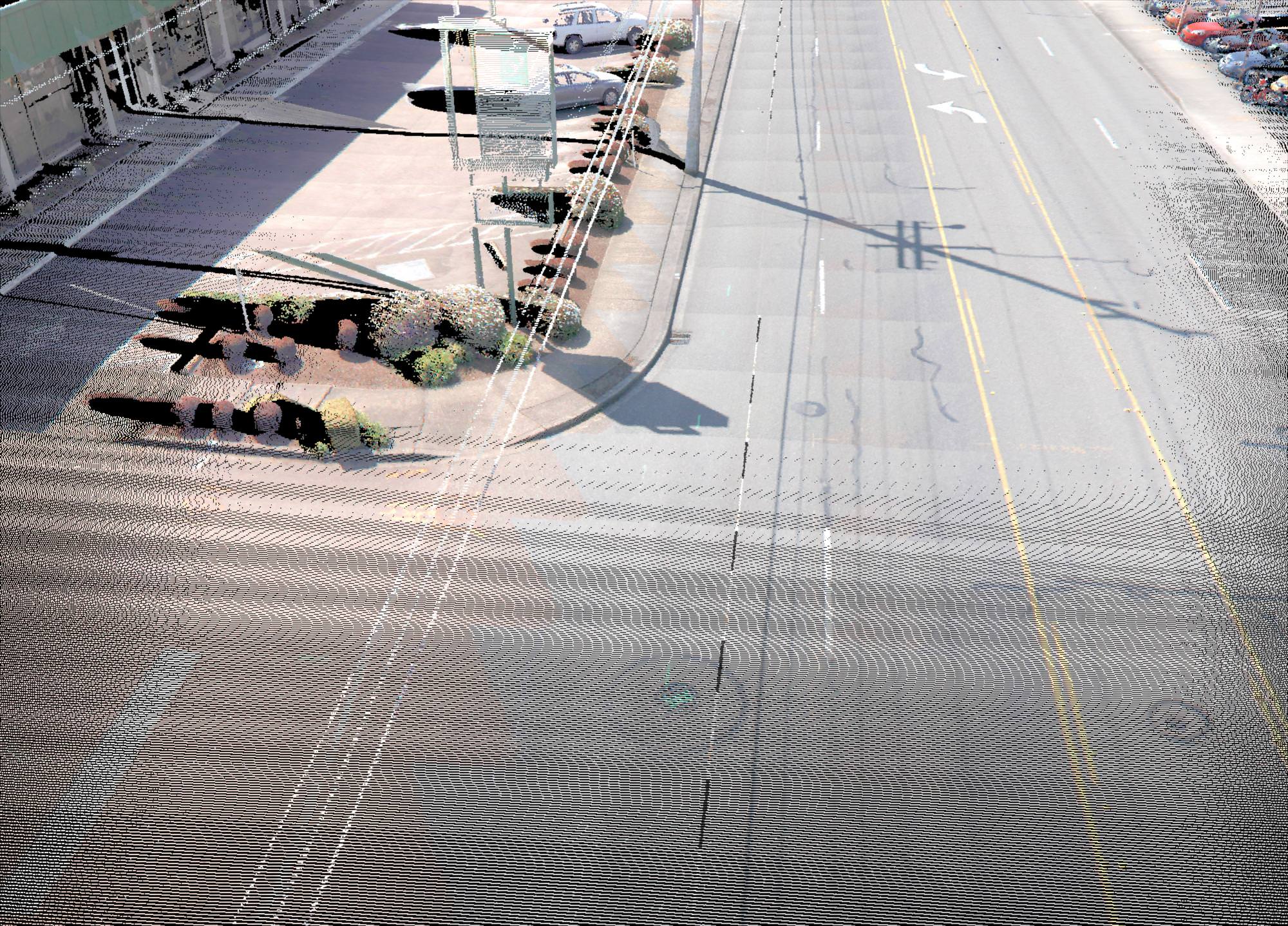
Auburn Way North Preservation Mobile Scanning
Auburn, WA
When the City of Auburn needed to get Auburn Way North mapped quickly so the city could begin design on pedestrian and intersection improvements, it turned to DEA to help with solutions. The city required design-level mapping of over 1.5 miles of Auburn Way North, which is the main north-south boulevard through the Auburn. DEA determined the most efficient, accurate, safe, and cost-effective way to get the field survey completed was the use of DEA’s mobile laser scanning system to collect highly detailed ground-based LiDAR data and 360-degree digital photography throughout the project corridor. DEA used the mobile laser scan data to develop 3D polylines and point features that were taken into Civil 3D to develop the topographic base map and surface model to the City of Auburn’s CAD standards. The city was extremely impressed with the highly accurate surface model and completeness of the mapping. The surface model was so accurate that the city was able to use it immediately to determine the compliance of the existing Americans with Disabilities Act (ADA) ramps, and begin their design.
More